This entry is part of my Northern California blog, which is a concept more than anything and developing as we continue to trudge through the COVID-19 pandemic. I’m on vacation this week and finally had some decent time to put this entry together. My point of view is primarily focused on those who have never been to Sacramento, but locals may get something out of it as well.
These photos were taken on Sunday, May 10, 2020, a date that in hindsight was now the early stages of the pandemic. I took two long walks that day, each about 4 miles. In the morning I covered various parts of Midtown and East Sacramento, specifically McKinley Park. In the afternoon I hit Capitol Park, Tower Bridge, Old Sac, and the Arena district. As the crow flies this covers a pretty central area of the city along what’s about a 1.5 mile stretch. I decided to title this East Sac and Downtown since that’s where most of the photos are from.
For those who have never been to Sacramento, the central city is often locally refer to as “the grid.” Below is a screen shot from Google Maps.

The home icon just below center is my house. The blue dot to the left of that is where I’m at now – a hotel called Inn Off Capitol Park, where I’m staying the week of 7/27 while on vacation and my house is a mess from the remodel underway. The area surrounded on 3 sides by freeway is “the grid” because of the layout of numbered and lettered streets. The Sacramento River is on the west side, the American River – which you saw a bit of in my recent Tahoe blog – is on the north side.
The Grid is a smart layout and makes it easy to get around. I don’t know how long I lived here before I learned/figured out that the block numbers all correspond to the intersections of the streets. It makes it easy to find places just from the address. It’s easier to illustrate than explain:
- 815 J Street is on J Street (duh), between 8th and 9th, on the north side of the street. Odd numbers on the north side, even on the south side.
- 2326 P Street is on the south side, between 23rd and 24th.
- 1015 20th Street is between J and K Streets, because J is the 10th letter of the alphabet. Odd numbers 1-15 are north of the alley that runs between each lettered street; 17+ are south of the alley. Even numbers are on the west side, 1-14 north of the alley, and 16+ south of the alley.
- 1618 24th St is between P (16th letter) and Q, west side of the street, south of the alley
Once you figure this out you never need to look at a map again for this part of town. Although of course with technology these days who does, you just navigate to it. But I’m old school, like to know where I’m going sans technology, and I’ve always been impressed by the cleverness of the this layout. Clever gets me every time.
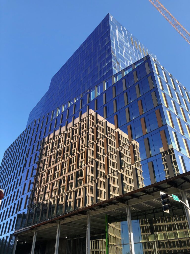
This photo was taken on Friday, May 8, on a 3 mile walk before work. This is at P and 8th, still under construction, but it just struck me as beautiful that morning with the reflection of the building across the street. It was just a big hole in the ground the last time I’d paid attention. I like this photo so just thought I’d throw it in.
I didn’t realize until I was putting this together that I didn’t take a lot of photos of Midtown on this walk on May 10. Too bad, since that’s the neighborhood I live and work in and spend the most time. I’ll have to do another post dedicated to the core of it sometime.
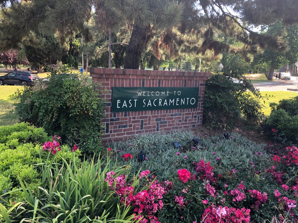
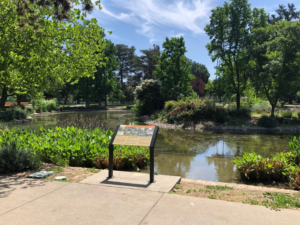
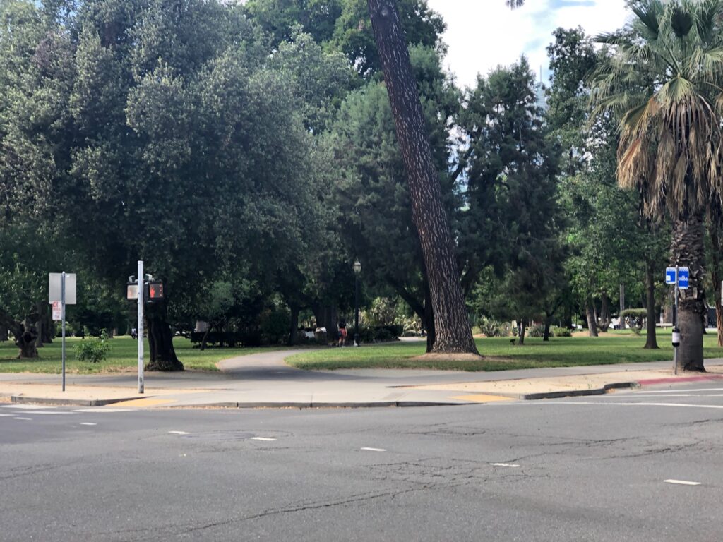
On the map above, this sign is at the bottom left corner of McKinley Park.
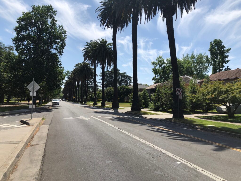
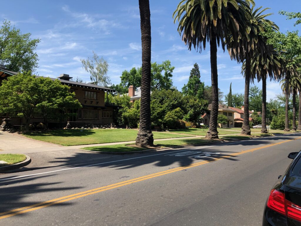
One of the many reasons people choose to live in Midtown and East Sac is the trees. I ended up taking a bunch of photos of tree-lined streets that I ended up deleting because the beauty doesn’t always translate. This is looking east up H Street, McKinley Park on the left. These houses around the park are some of the most desirable in the region. There’s a lot of old money in East Sac, especially in a more specific neighborhood known as the Fabulous 40s. If you saw “Lady Bird”, the blue house where her boyfriend’s grandmother lived was in the 40s. (That neighborhood is named for the street names – roughly 42nd through 48th, J Street to Folsom Blvd.)
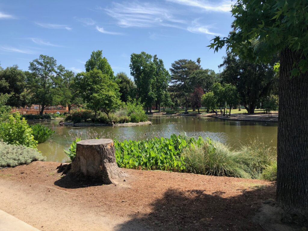
This and the next two below are of the duck pond.

More duck pond.
Sitting on a park bench just taking it in. I love the island in the middle.
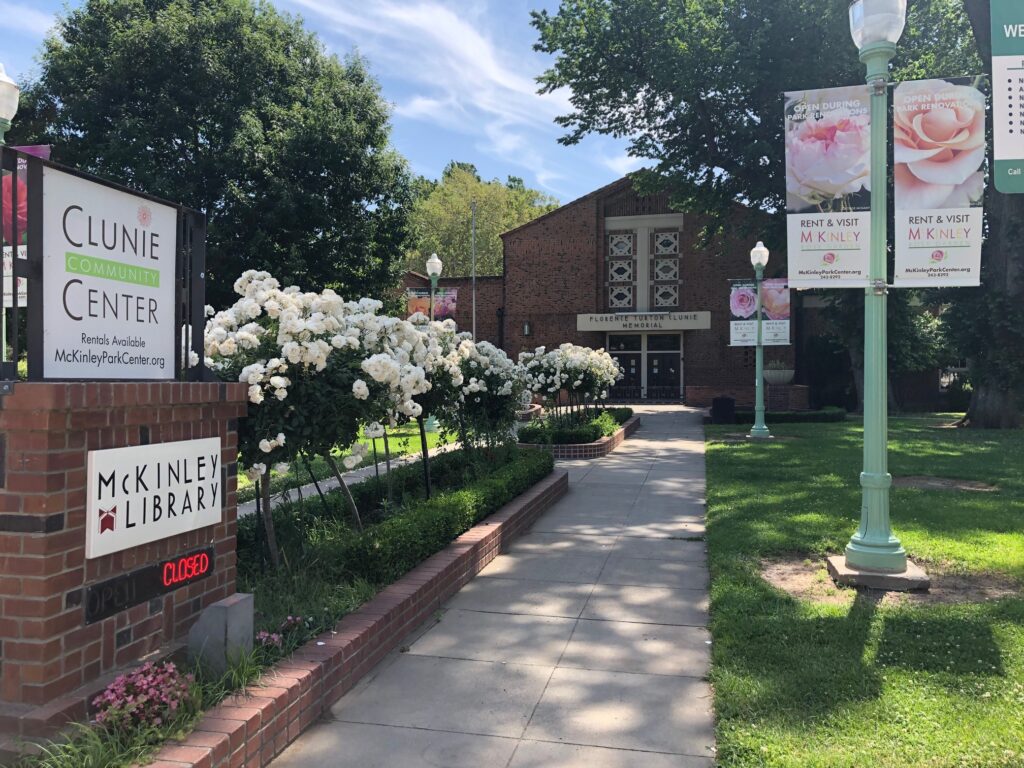
There’s a public library in the park. I don’t know if the park is named for the library or vice versa. I used to go to AA meetings here with some regularity say 1998-2002.
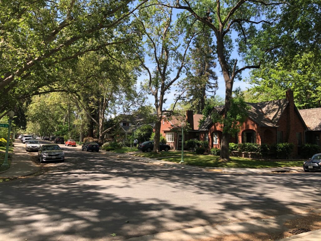
One of those tree-lined street shots I mentioned earlier. The houses on the north side of the park aren’t as big, but in many ways much more charming. This is McKinley Blvd, aka E Street.
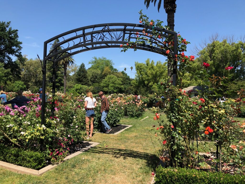
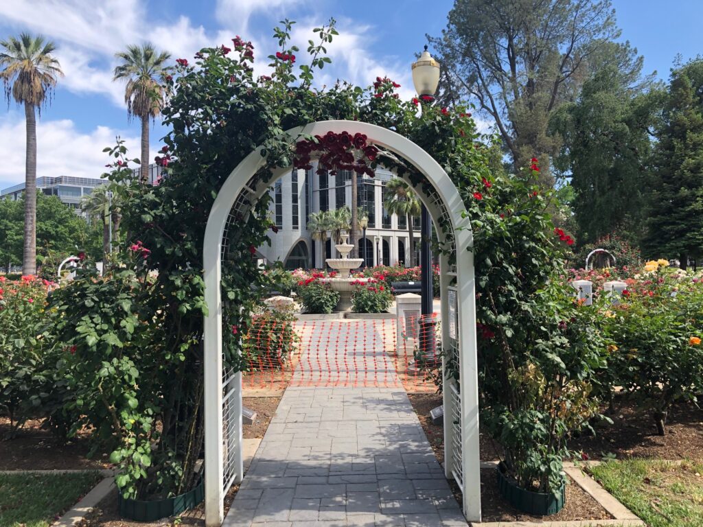
The Rose Garden.
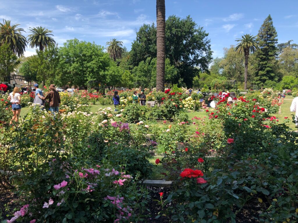
More rose garden.
Still more rose garden.
Back on H street. The houses on this side are huge.
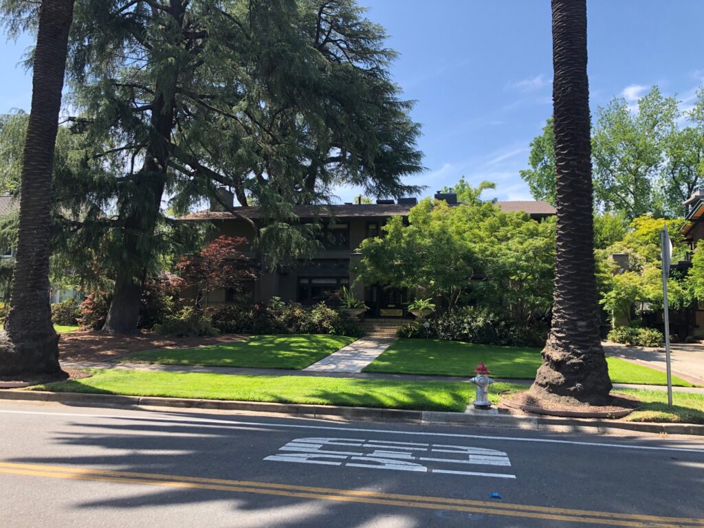
Always makes me a little uncomfortable taking photos of other people’s houses, but I’ve always liked this one, and the trees in front of it. There’s a surprising number of redwoods in this area (and they really don’t belong here!).
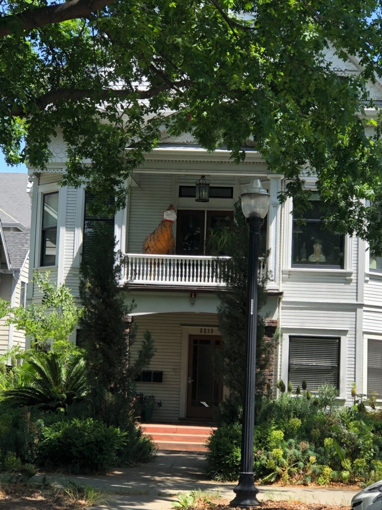
This is in Midtown, on N Street between 22nd and 23rd. Everyone who lives in the neighborhood knows about the chicken on this balcony. I was highly amused to see it wearing a mask. That was the end of the morning walk.
Afternoon walk begins. This is the closest entrance to Capitol Park from my house, at N Street and 15th.

It’s the biggest park in the central city – 5 blocks long (10th to 15th Streets), 2 blocks wide (L to N Streets).

And it serves as an arboretum of sorts. Many of the trees and plants are labeled. This is the cactus garden.
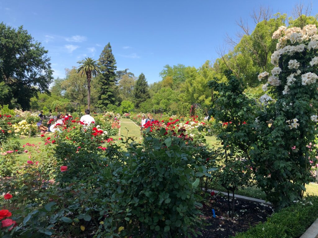
And look, another rose garden!
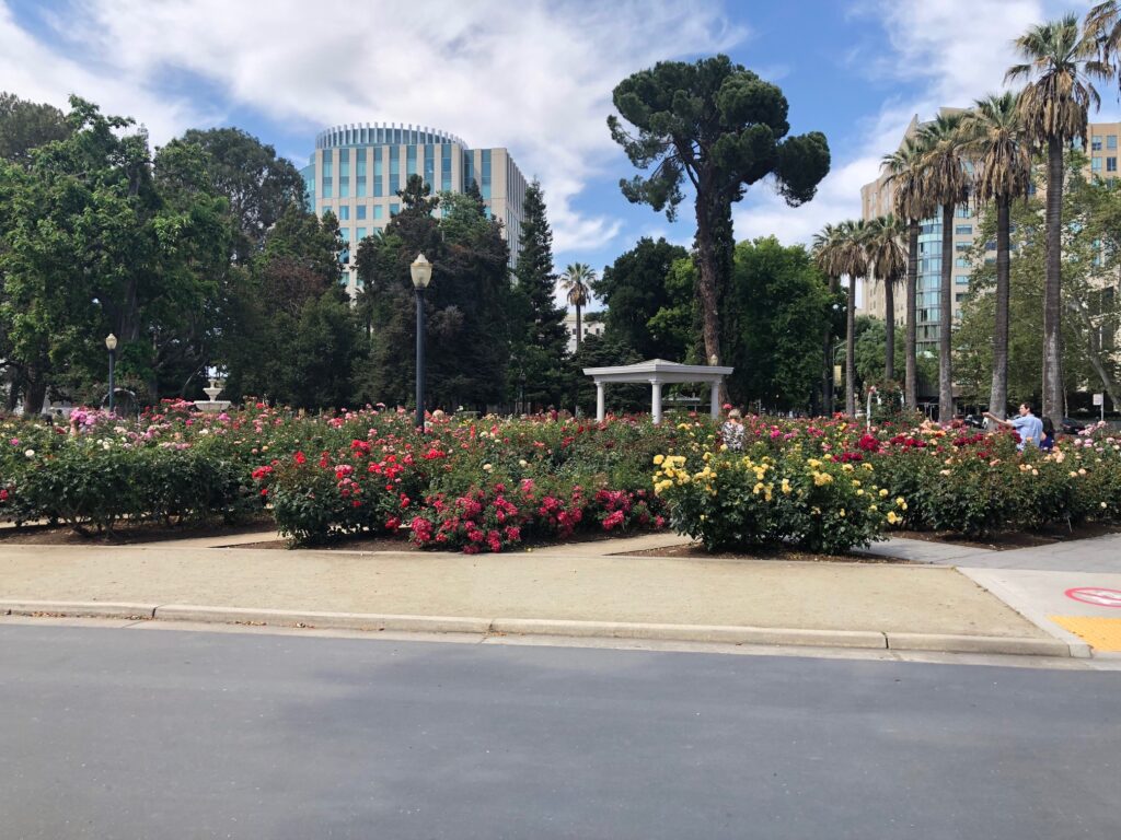
More rose garden, Capitol Park. I love the look of downtown buildings in the background.
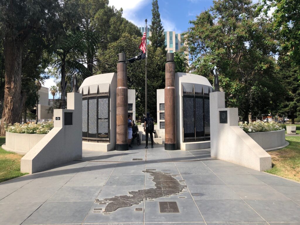
A Vietnam Memorial honoring Californians killed in the war. The photo below is a closeup of the black sides you see above.
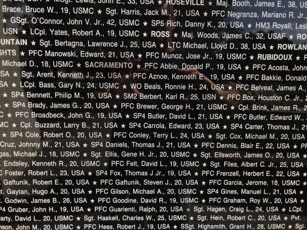
This has the names engraved of all the people who died, by city. I zoomed in on Sacramento.
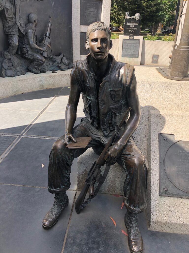
The statue in the middle. So young.
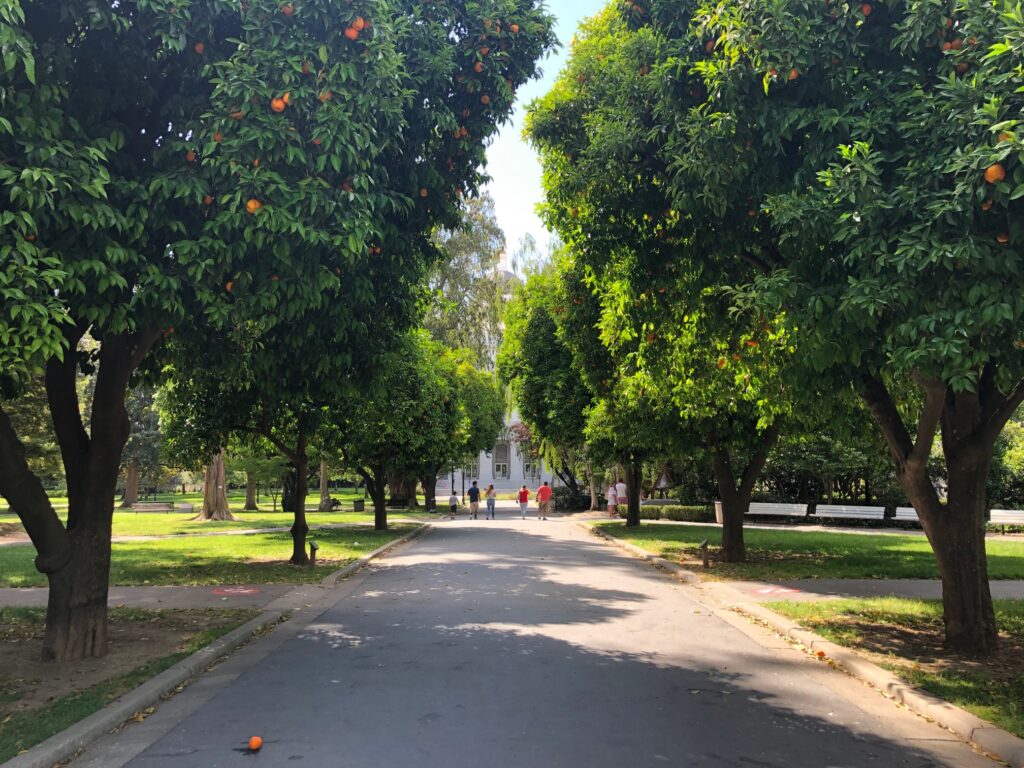
A wide parkway up the middle. If it weren’t so hazy you could see the dome of the capitol in the background. Note the orange trees on either side.
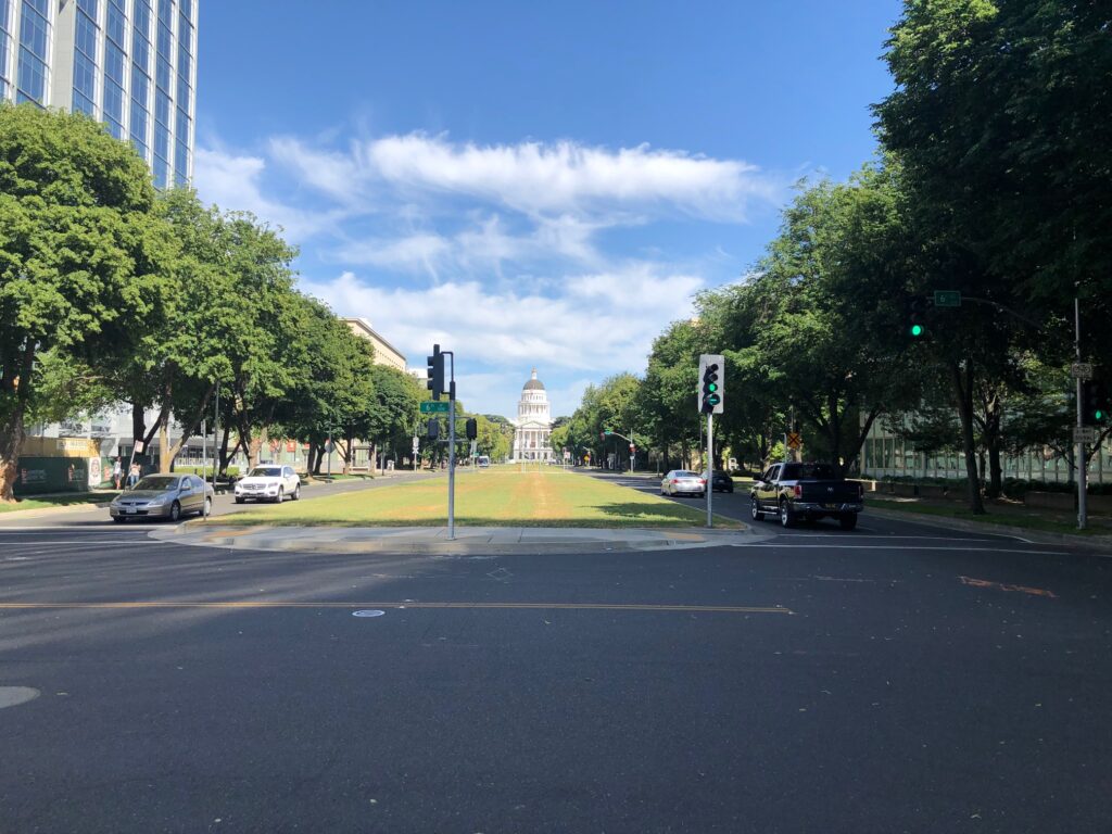
This is Capitol Mall, at 6th Street looking east. It was M Street at one time, then this portion changed to Capitol Mall from the river to 10th, then Capitol Avenue from 15th to Alhambra on the other side of the freeway, where it turns into Folsom Blvd. There are still snippets of M Street in East Sacramento, especially in the Fabulous 40’s.
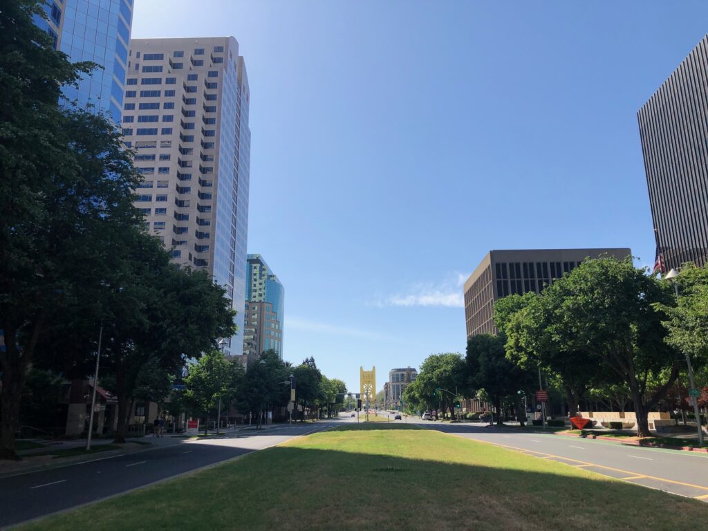
Looking the other way, where you can see the iconic Tower Bridge at the end of the mall. This is probably the most expensive commercial real estate in the region.
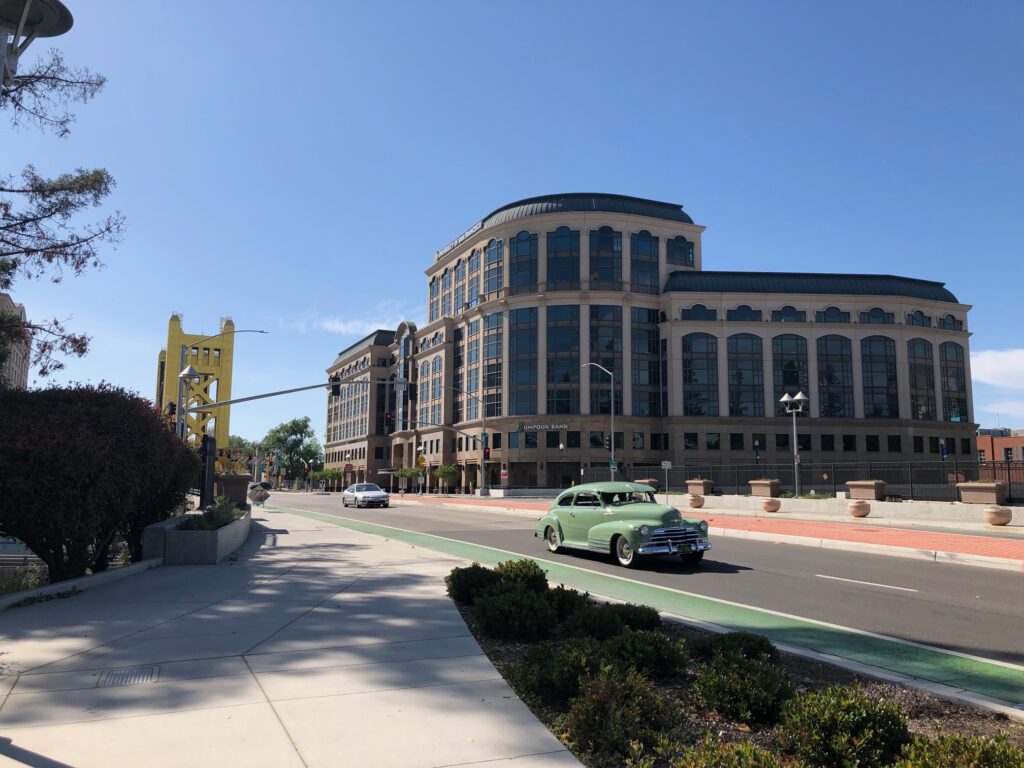
The address for this building is One Capitol Mall, on the other side of I-5 which in this photo us underneath where those cars are. I’ve included this photo because I’ve spent some time in that building. Next photo please.
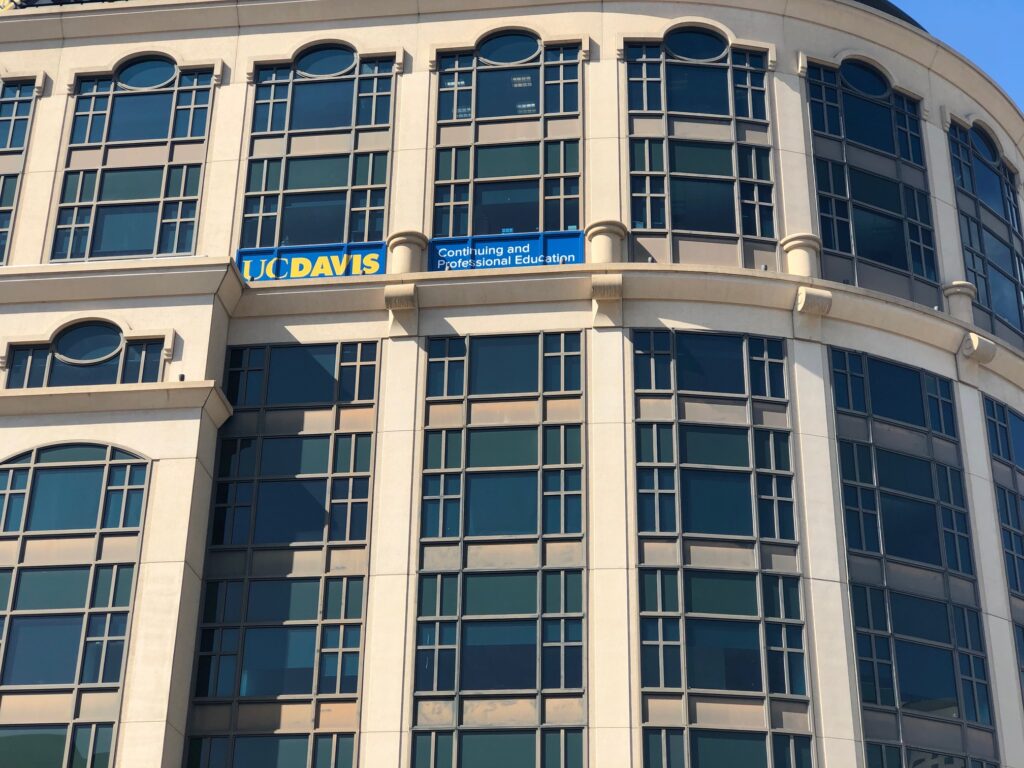
The sign which you can’t really see in the prior photo: UC Davis Continuing and Professional Education. This is the school where I teach typically a quarter of a year at night. They used to be on J and 29th but moved here about a year ago, and I taught here last Fall. Nice digs, and great views if you’re lucky enough to get a classroom with windows!
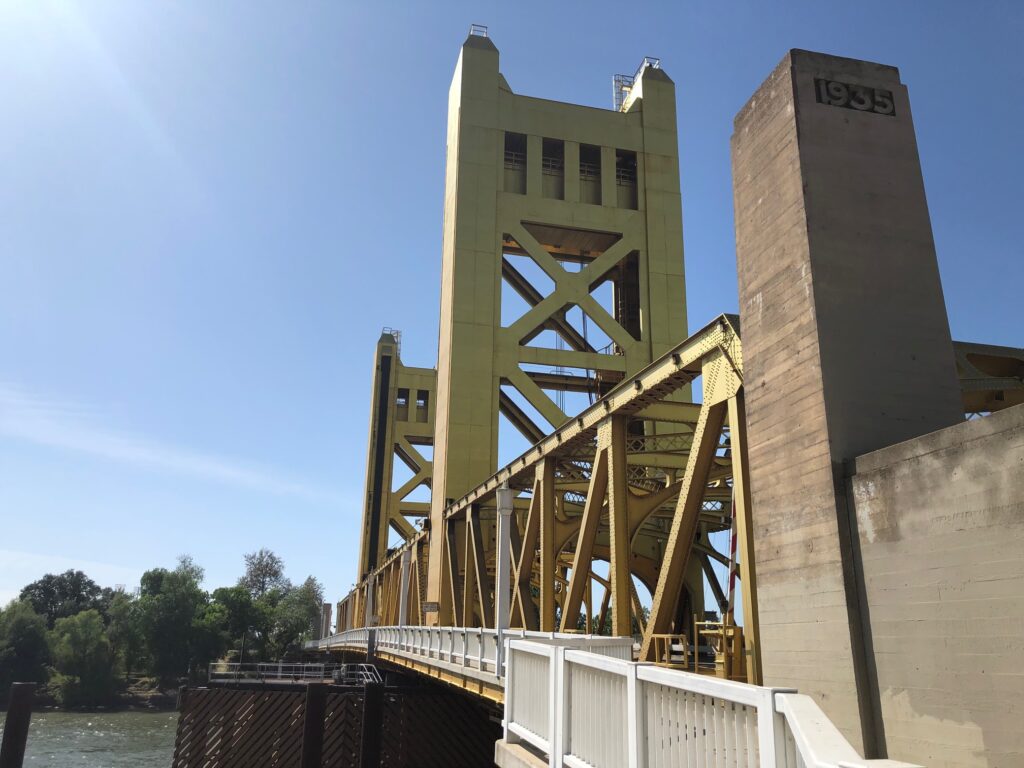
Sacramentans love taking photos of this bridge, based on a local subreddit I participate in. Built in 1934, it replaced a bridge called the M Street Bridge – so clearly the name change happened after that. It’s a lift bridge – the center lifts up so larger boats can get under.

The river promenade on the left. That building is an Embassy Suites hotel. The promenade here only runs about 1/2 a mile, but it connects bike trails along the Sacramento River to those of the American River on the other side of Old Sacramento. The American River Parkway runs from Old Sac to Folsom; another blog post at some point maybe.
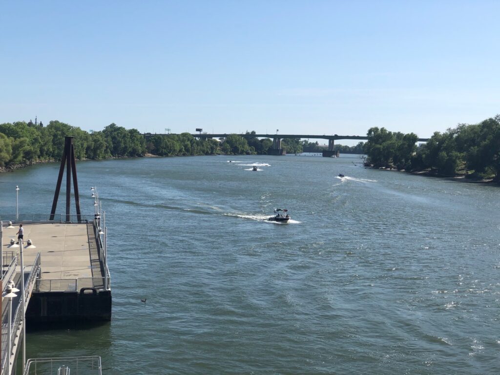
That bridge in the background is, at that point, both Highway 50 which runs to Lake Tahoe, and Business 80 which is the internal highway for Interstate 80. I-80 which runs along the outer edge of the city, Business 80 runs through town. For some reason people get very confused by having “two 80’s” but it’s always been very clear to me. This is the Sacramento River, which at 400 miles long is the largest in California. It feeds into the Delta, and associated ship channels, which feeds into San Francisco Bay. The river is also the boundary for Sacramento County and Yolo County on the other side, which is where West Sacramento begins.

“The pyramid” in West Sac. Was The Money Store back in the 90s; I don’t know what it is today. The glass building next to it is CalSTRS, California State Teachers Retirement System.
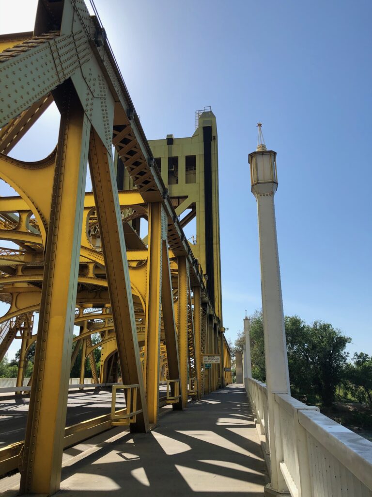
You can walk or bike across Tower Bridge. I’ve done both.

Looking into Old Sacramento from the bridge. That’s I Street Bridge in the background. It was built in 1911 and you can tell. It’s supposed to be replaced within the next year with a beautiful modern bridge. There was a big architectural contest for it and it was fun to watch the process. I guess we’ll see what impact the pandemic has on all that.

The Delta King. This steamboat ran between Sacramento and San Francisco between 1927 and 1940. It’s been permanently stationed here for awhile and is a hotel, restaurant and event venue.
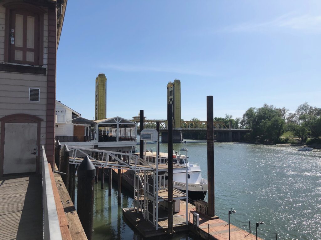
Looking back at the bridge from Old Sac.
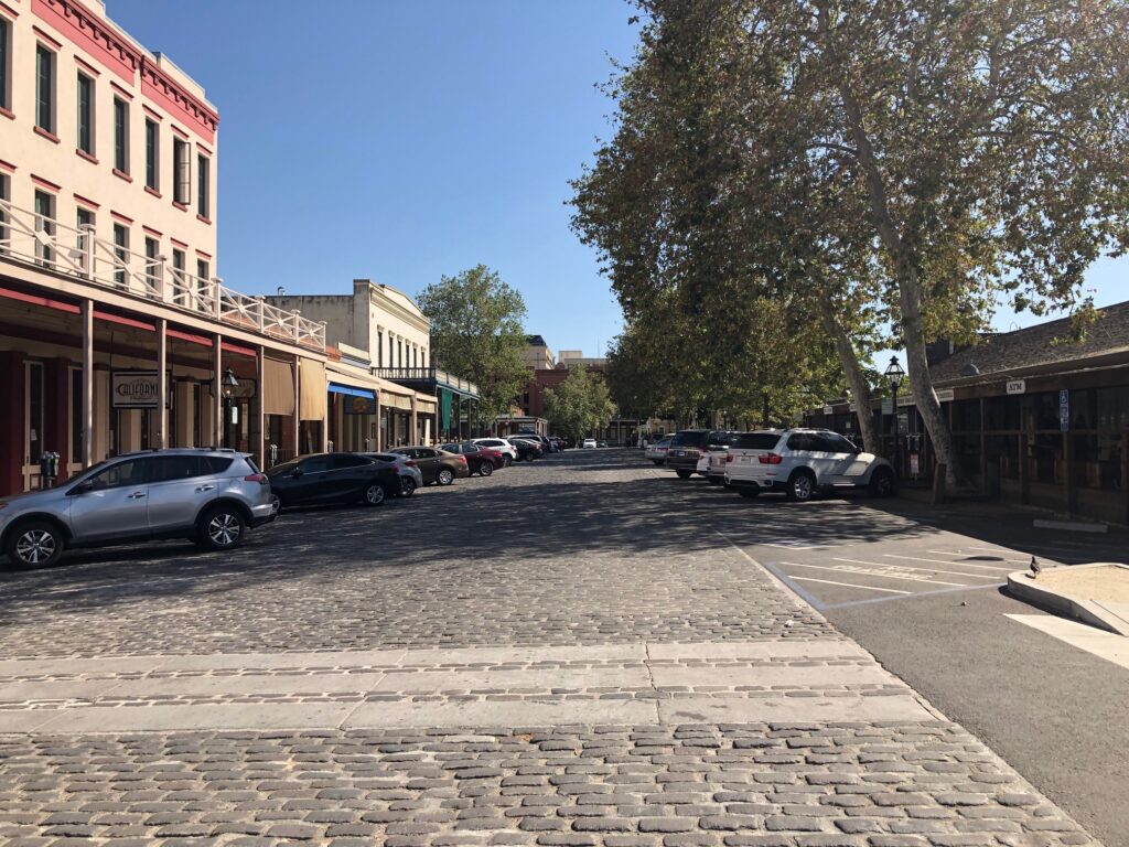
Old Sac is about 9 blocks of retail, restaurant and entertainment places that is pretty touristy. These buildings are all from the mid-to-late 1800s. This area was decimated by the building of I-5 but has come back, sort of, as a touristy area. Although it does make for a lovely walking and biking venue as the bike trails run right in front of it. You can also get a horse and buggy ride if you like. I spent a lot of time down here my first few years in Sac because there was a club called Popeye’s that I used to frequent with friends from work. I’m hardly ever here anymore, but it makes for a nice change of pace.
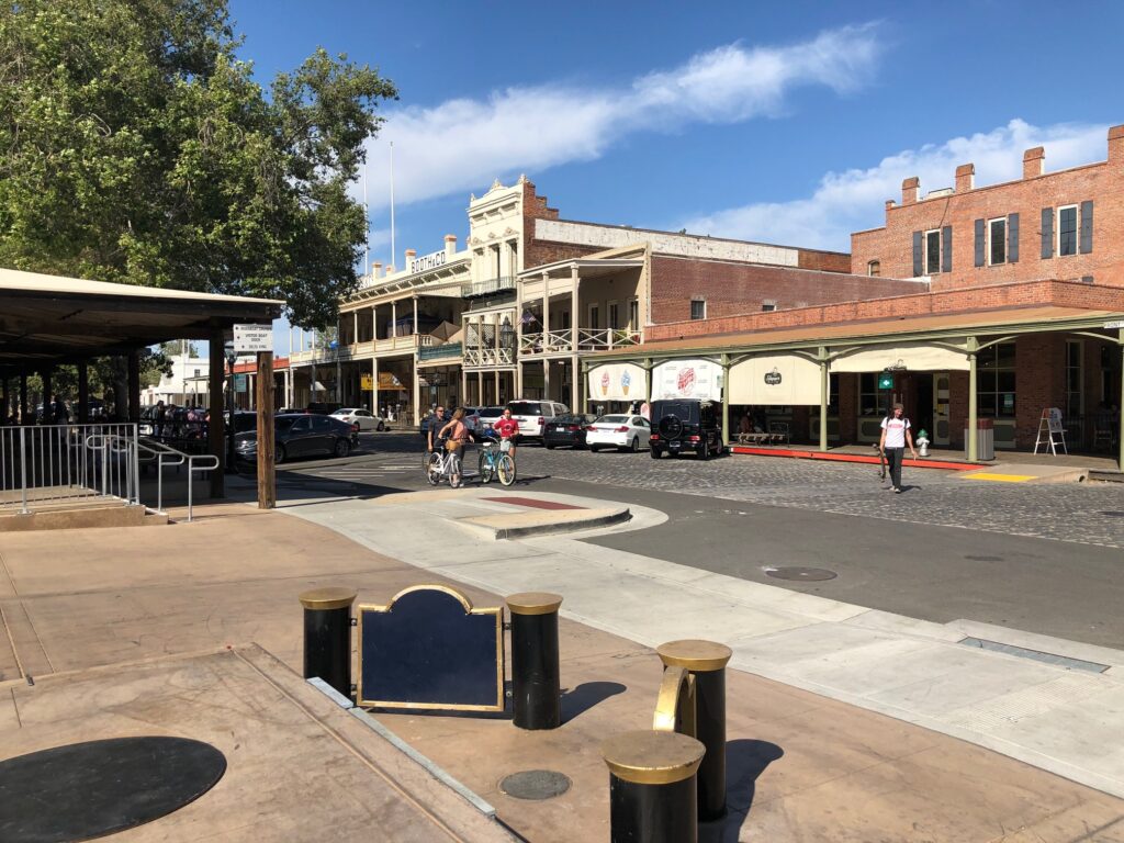
There were more people out and about on this day than I expected.
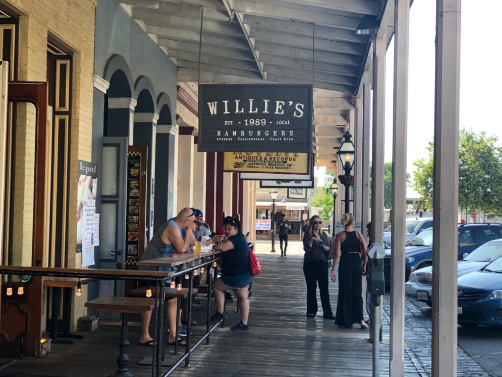
And not very social distancey either. I do like these covered sidewalks, though!

That’s I-5, and a tunnel that connects Old Sac to Downtown.
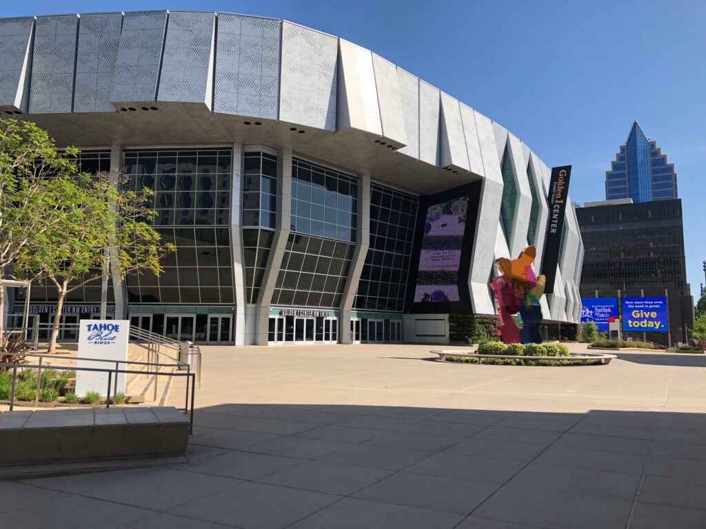
Downtown runs from 3rd to 15th, say F to Q streets, depending on who you ask. This is the Golden 1 Arena, sponsored by Golden 1 Credit Union, probably the largest credit union in the state whose members are primarily state employees. City planners and detractors argued about this arena for 30 years at least. It was finally finished in 2015 and, truth be told, was one of the many reasons we decided on Midtown when Dan and I first started looking to leave Davis. To my knowledge, none of the parking and traffic nightmares so long predicted manifested. Improved light rail along with Lyft and Uber I think cut way back on those problems. It’s an amazing venue. I’ve been to 2 concerts and one basketball game there. And I think all of the eateries in it, most of them anyway, are local – no big chains.

The arena has led to a lot of new development in the area, including what’s now referred to as DOCO for Downtown Commons – bars, restaurants, hotels, movie theater, that’s all cropped up around it.
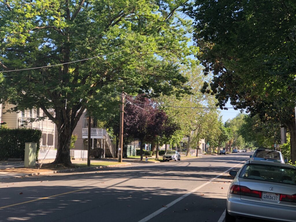
And back to my quiet street. I do love how quiet my block is, which is not true 2 blocks in either direction. That’s my house with the white stairs left of center. This emptiness is typical for a Sunday afternoon, pandemic or no pandemic. Saturday nights prior to the pandemic were a whole other ball game, as many people seek out this block for free parking and easy access to bars and restaurants.

A close up of my house. I’m glad I took this shot when I did, May 10. It provides a nice “before.”
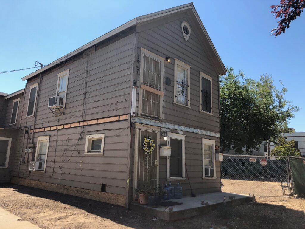
This was taken on July 17. If you’re following my remodel blog, consider this a preview to the next entry….
We’ve come to the end of this post, a local-ish edition of the Northern California blog. This concept continues to develop, I welcome all feedback on it.
This post was finally written and published on Thursday, July 30, 2020.
Related Posts


Subscribe to the Blog
Enter your email address to subscribe to my blog, which will provide notifications of new posts. Soon after you enter your email address below, you will receive one to confirm your subscription. Check your spam/junk folder if you don’t see it.

