I went to bed about 2am Thursday morning; Ash was already very asleep. We both got up a little before 7:30am. There was no coffee in the room so Ash took Paul out for a walk while I showered and we made our way out. We stopped at a Starbucks – a little against the rules, I know; we rarely go anywhere while traveling that we could do at home. But it was easy to find off the freeway and we were feeling lazy. We sat over coffee and a pastry and then got on our way.
The goal for Saturday was to end up in Seward where we would be spending the night. The only purpose of the trip was Ash believed it had some of the most spectacular scenery he’d ever seen. You can judge that for yourself from the photos below. For not having done much but drive and gawk at beauty, I ended up taking over 100 photos throughout the day. I managed to cull that to about 60 but that was the best I could do.
And so it begins. These next few are still tagged as Anchorage by GPS.
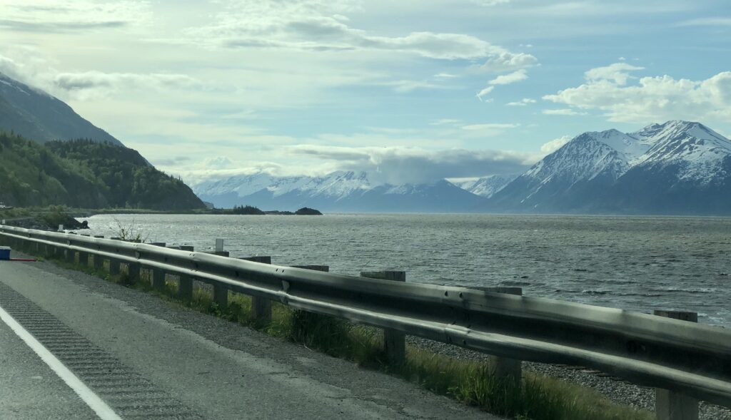
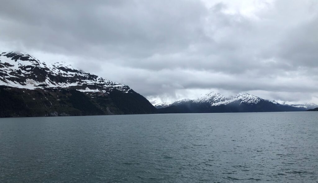
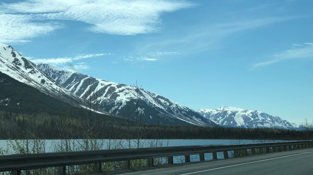
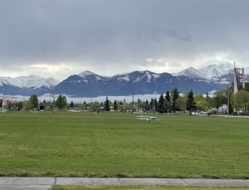
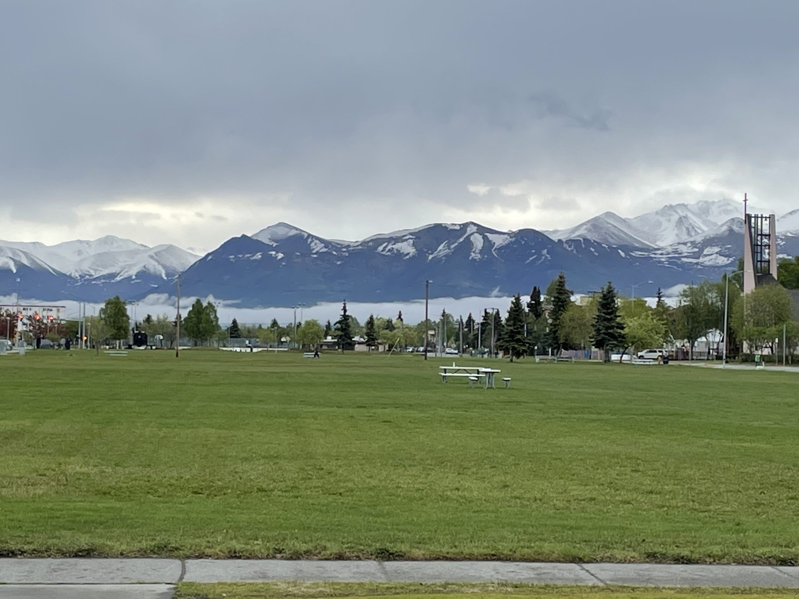
You’re going to see a lot of this: Gorgeous mountains along the roadside, sometimes water in between. This photo is not edited in any way – that’s just how the sun was hitting.

The water is brown because the undertow churns the mud in this area, which is essentially the bottom fork of the bay on which Anchorage is settled. But the rest is stunning.

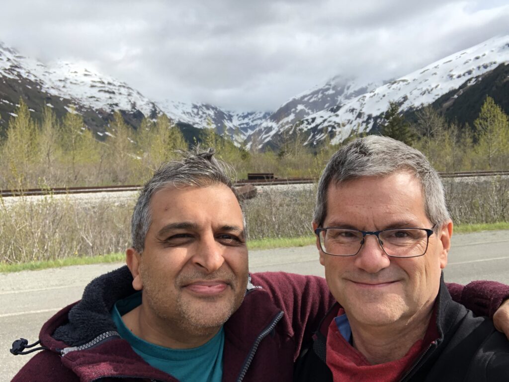
First selfie of the day.
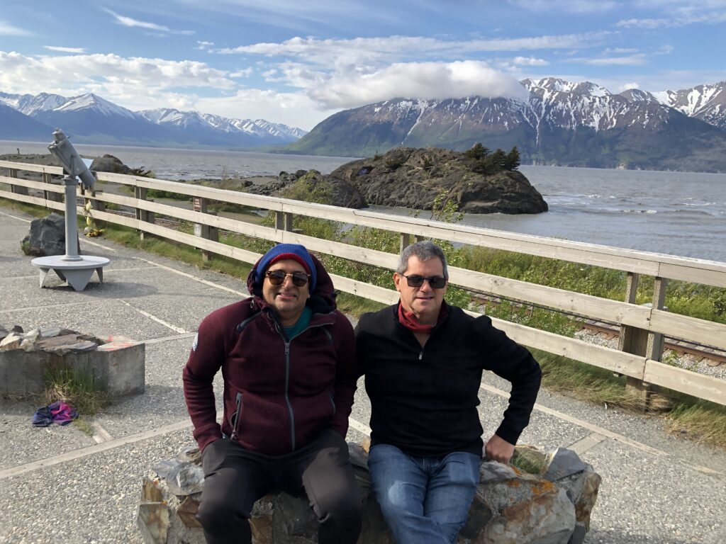
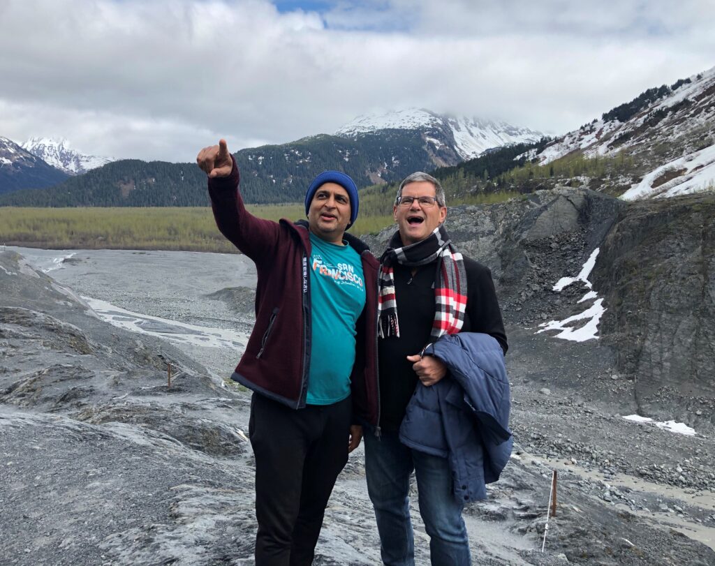
A couple offered to take our photo after seeing us do it ourselves, and we returned the favor. That background is amazing.

Note that the whole distance we drove today is just 127 miles, which should only take about 2.5 hours. We left around 8am and got to Seward after 4pm. That’s how much we stopped. But this stop wasn’t necessarily by choice. We hit the Whittier tunnel right on time, around 10:25am. You might be wondering: why would you need to be on time for a tunnel? Because it’s only one way is why. Into Whittier is allowed for 15 minutes on the 1/2 hour; out of Whittier for 15 minutes on the hour.
So we took another selfie while we had a few minutes to kill.
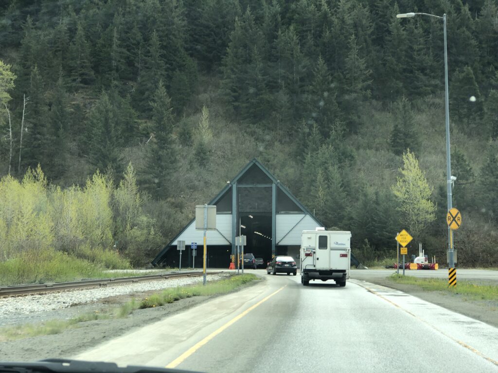
The tunnel entrance.
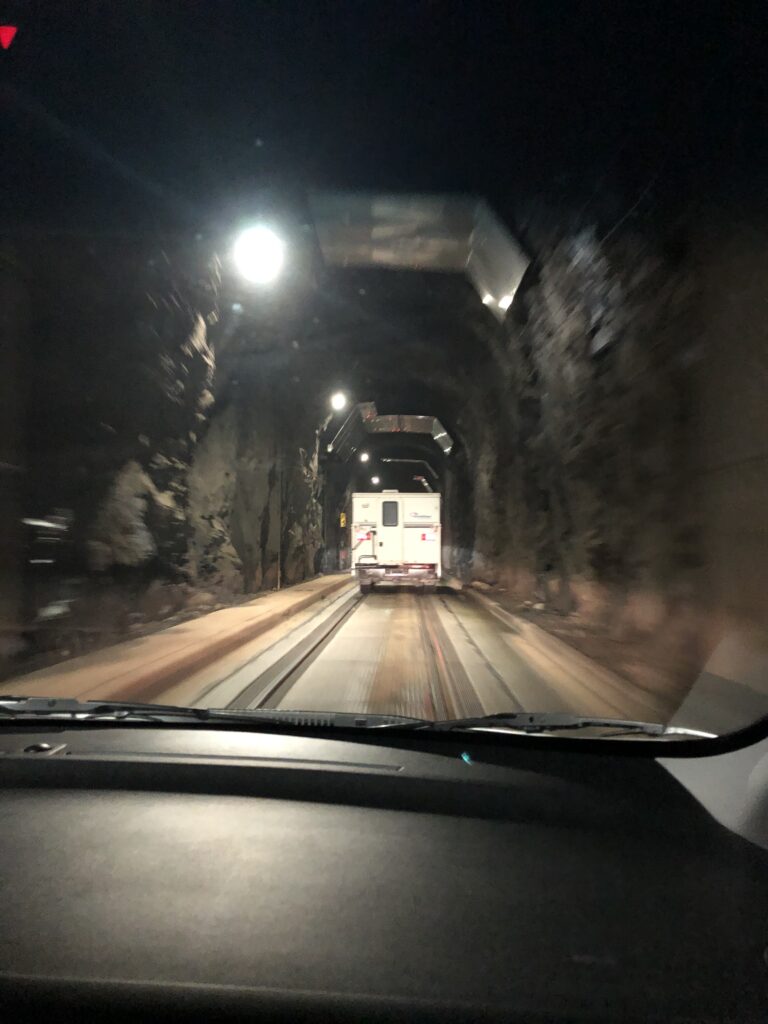
Inside the tunnel, duh.
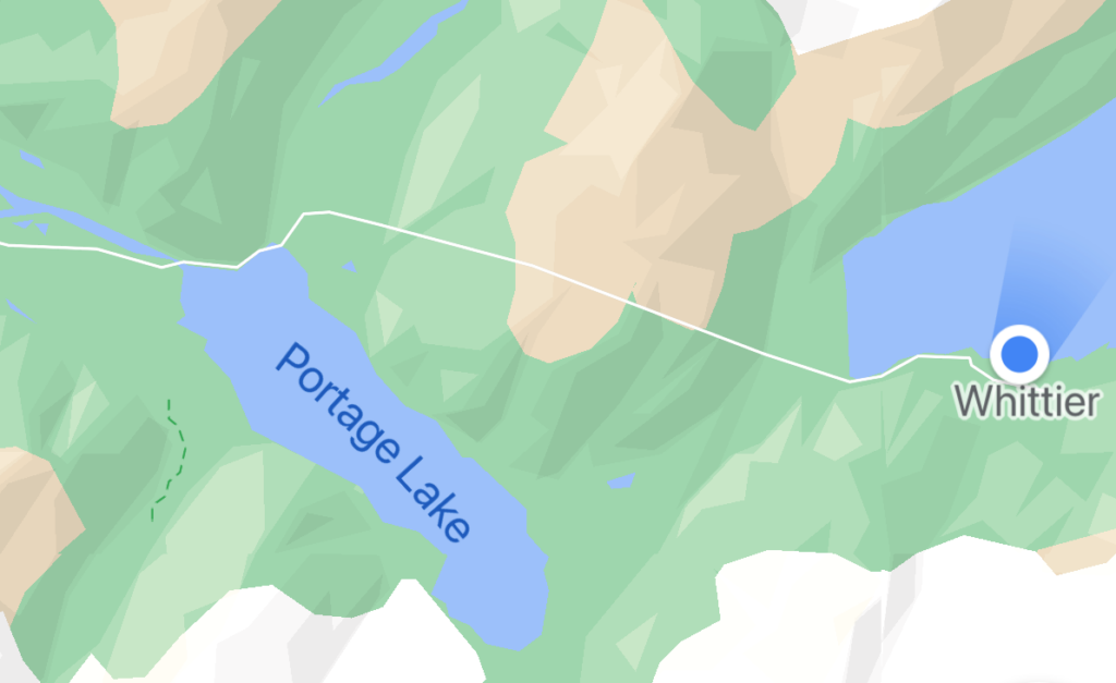
The white line going across from Portage Lake to Whittier is the tunnel. At 2.5 miles long, it’s the longest in North America.
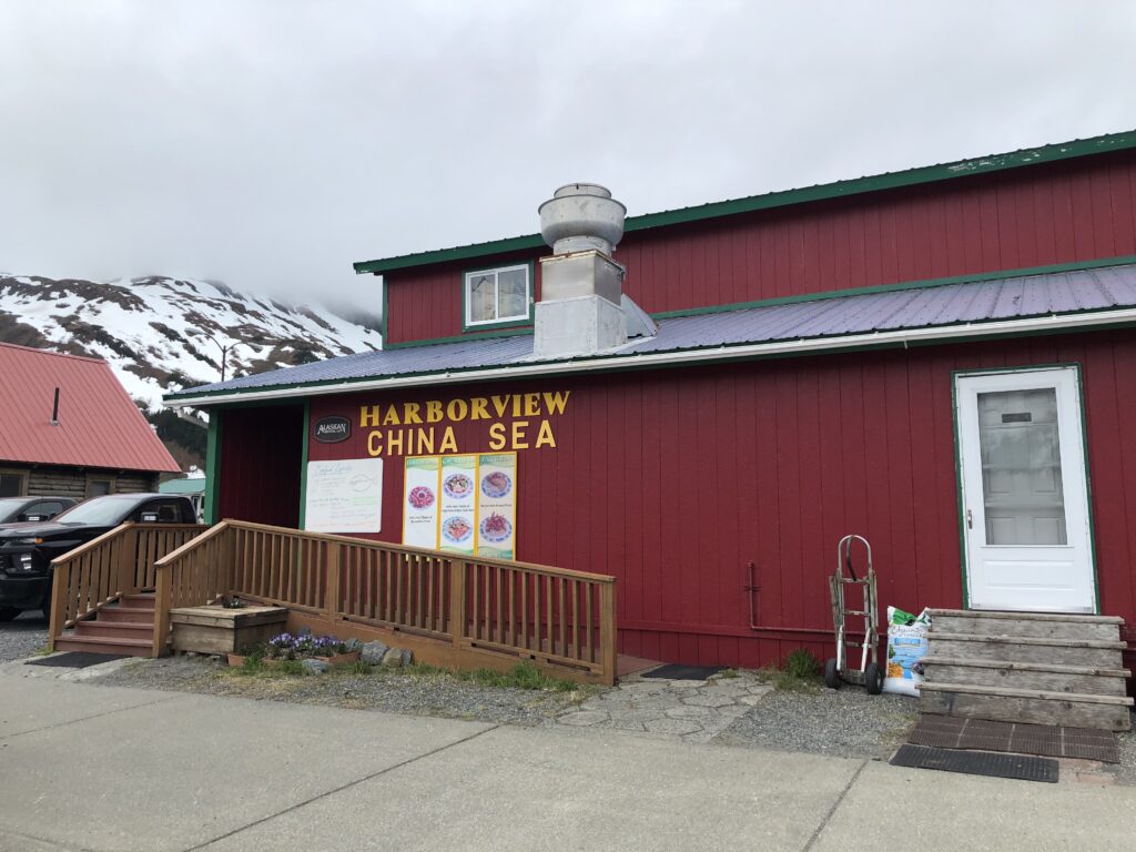
We asked the guy at the tunnel ($13 to go through) where the best place was to have lunch in Whittier. Without a second of hesitation he said “China Sea.” So that’s what we did.
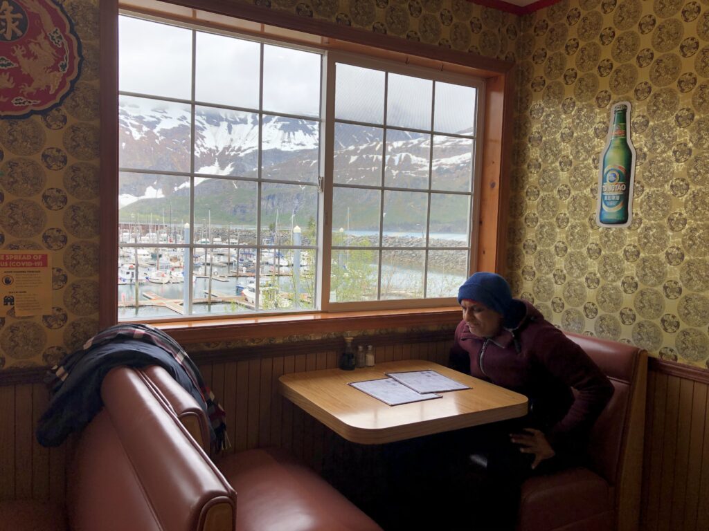
The sign didn’t lie: we did have a harbor view. It helped that we were the first ones there when it opened at 11am. Since we’d eaten so little for breakfast we figured it was OK to eat lunch this early.

I’d taken a shot of the harbor before we went inside.
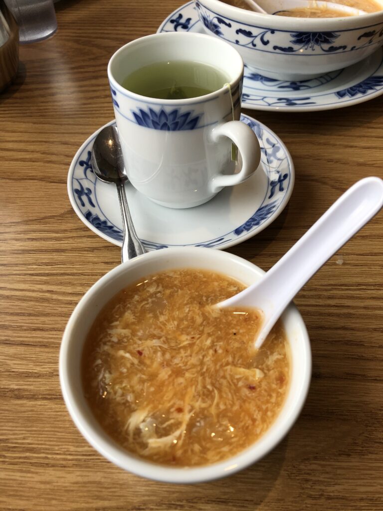
We started with hot and sour soup, which was heavy on the sour but super good.

Shrimp in a spicy garlic sauce that was pretty yummy, with steamed rice of course. It was the perfect amount of food.
This was the view across the street from the restaurant.
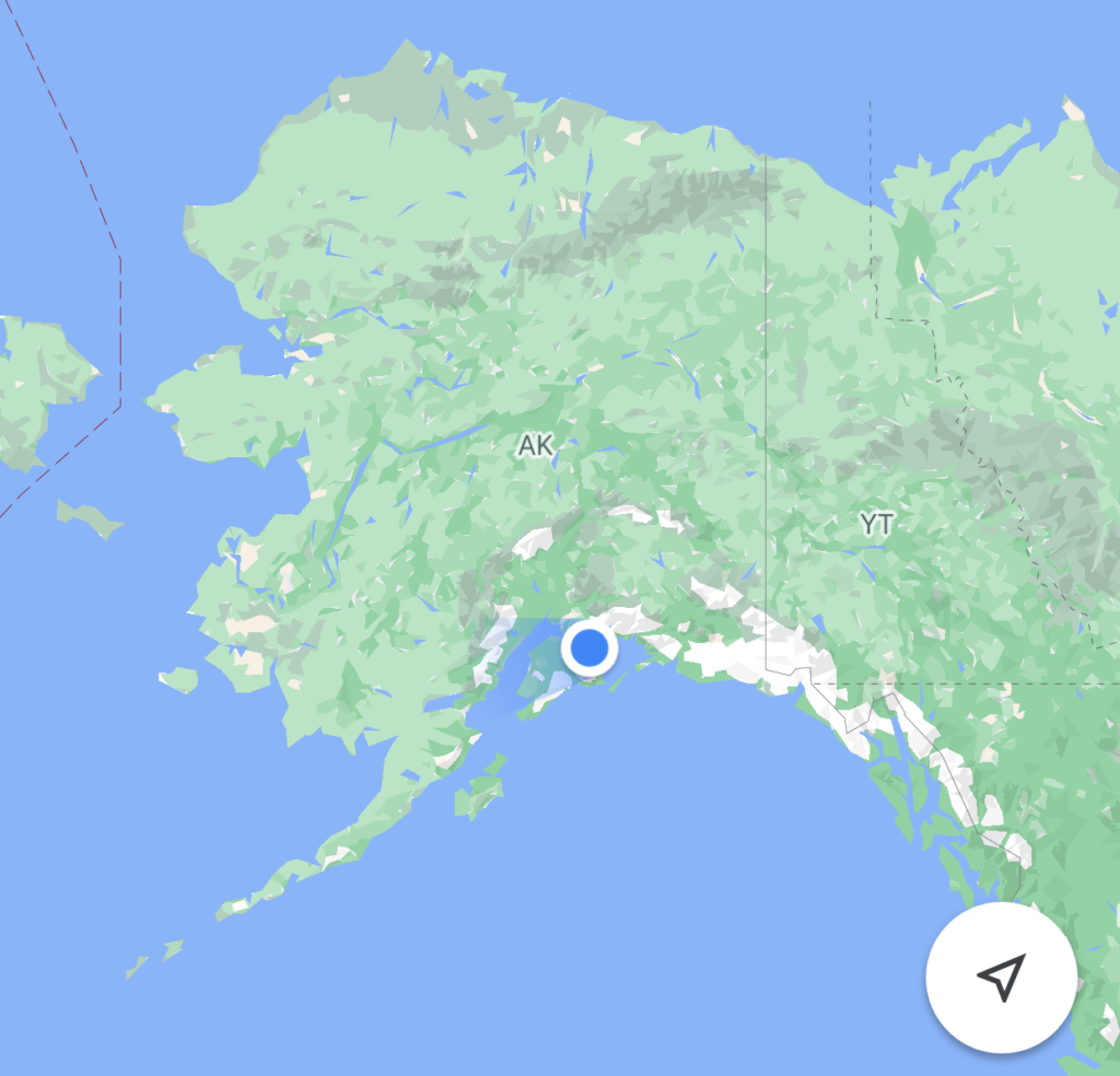
This gives you an idea of where we are relative to the rest of the state.

The highway made several suggestions of where to stop along the way for photo opportunities. This was one of them. There was also a restroom here, and when I walked there I noticed there was a paved trail just under where I’d been standing when I took this but hadn’t noticed it.
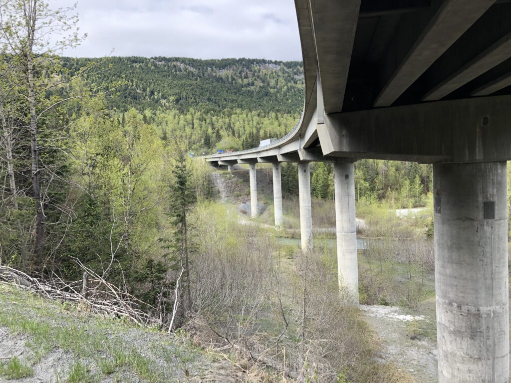
So we walked that trail and ended up going under a bridge…
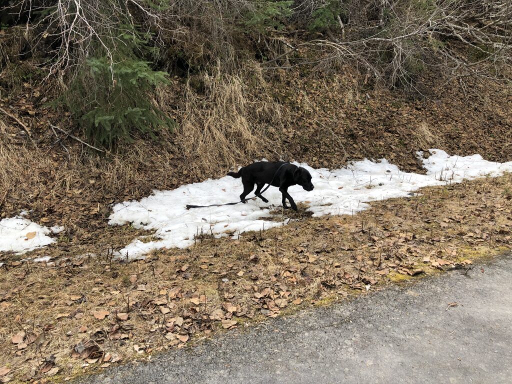
…Paul played a bit in a small amount of snow…
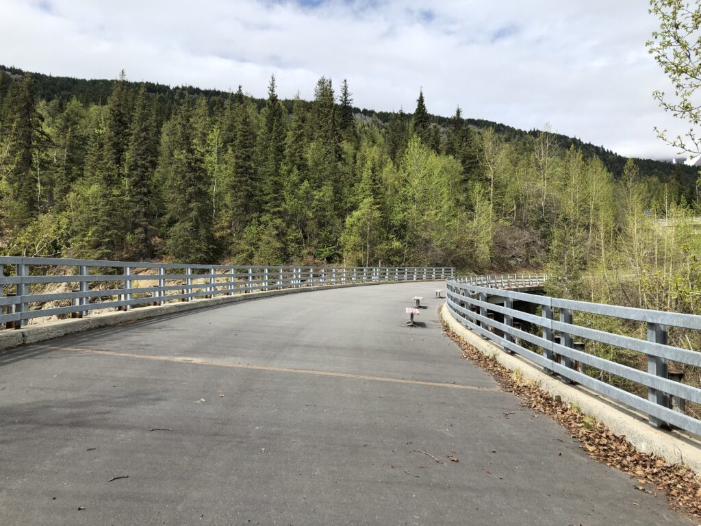
…and then the pave path turned into a road almost – except roads don’t have benches on them.
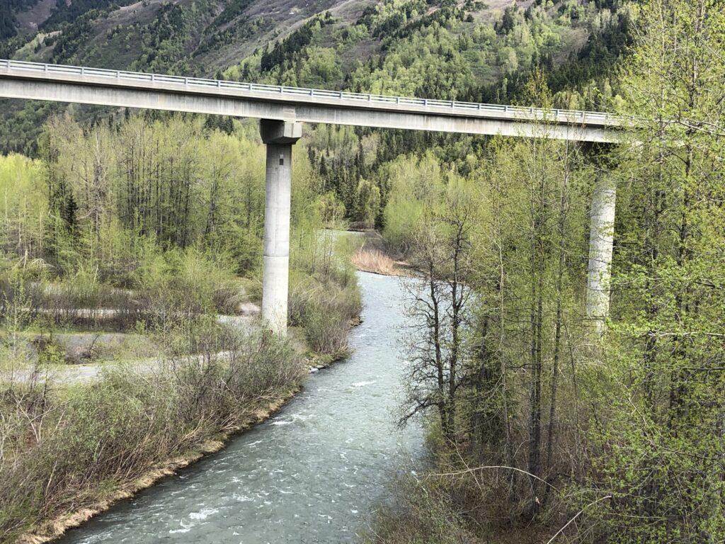
That’s the bridge you saw 2 photos ago, and in the background is a confluence of this river and another river coming from the other direction, which we’d walked along a bit on an earlier stop. We had no phone service most of the day and never could get the names of the rivers. Even looking again at the map now I couldn’t find them.
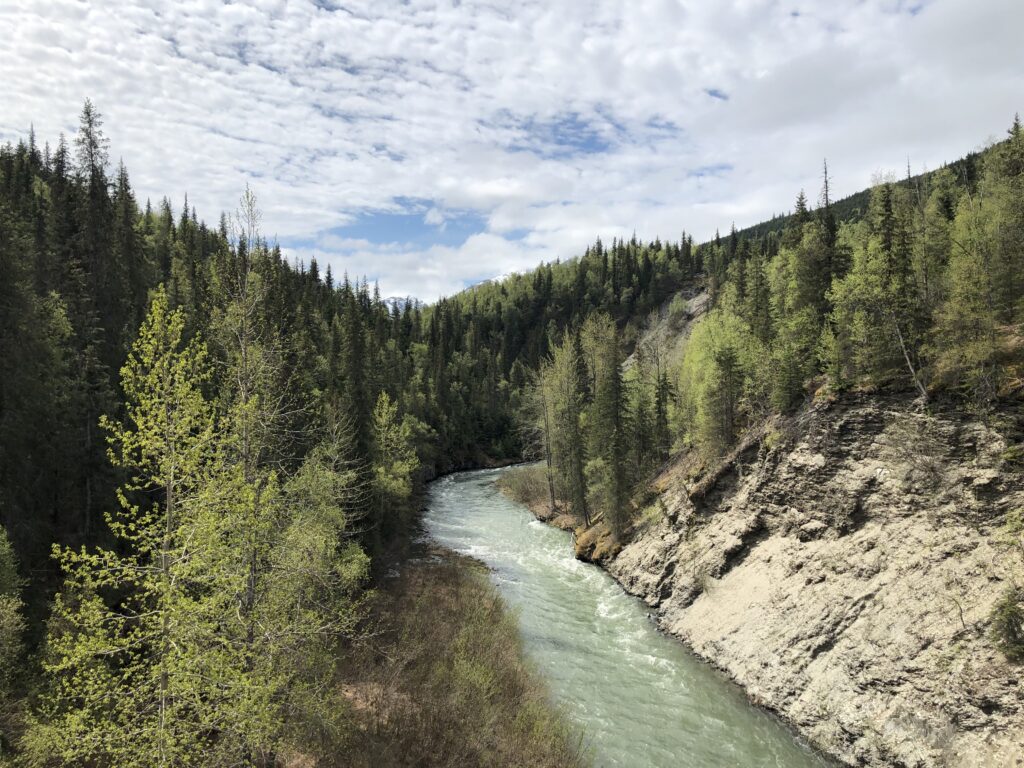
But it was pretty. This is the river from the other side.

Random pretty mountain still covered in snow. GPS tagged this photo as Moose Pass.
Still Moose Pass. Blue skies were rare today
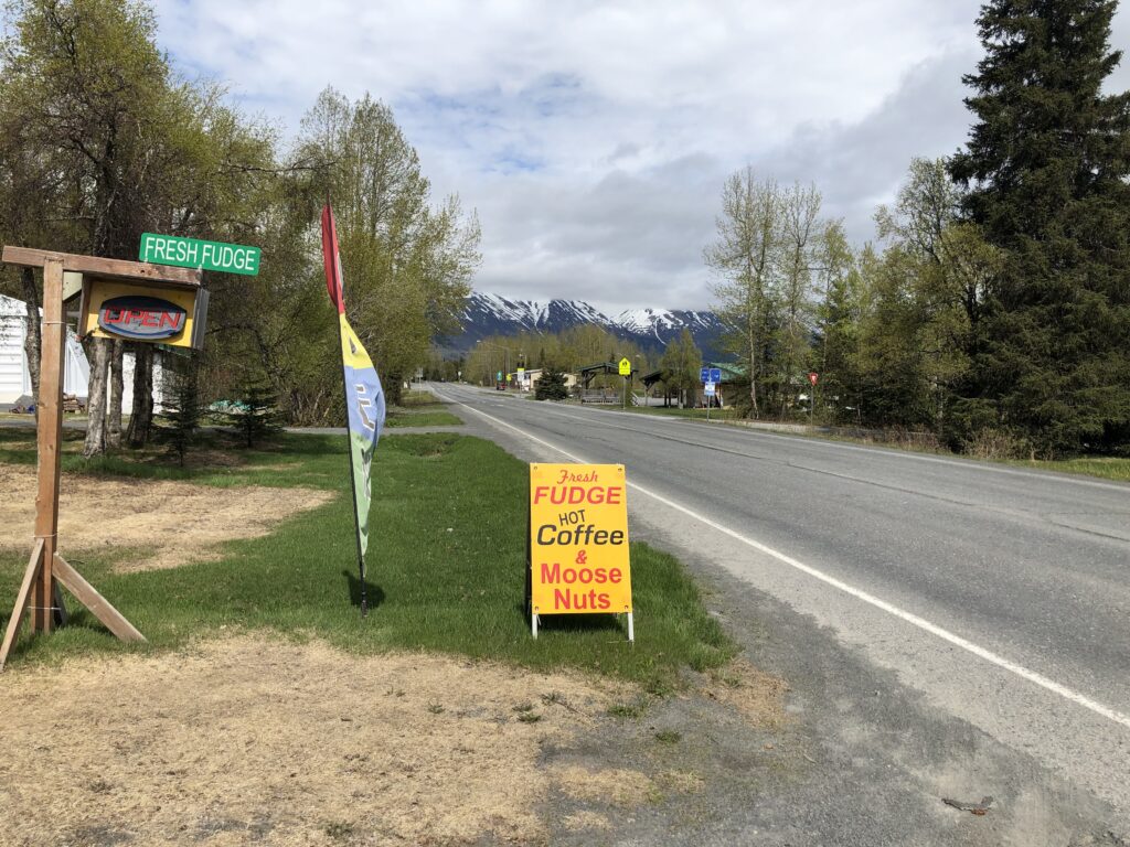
We’d seen a sign on the side of the road advertising fresh fudge and coffee so kept a look out for it. By the time we got to the place, they’d added something: Moose Nuts, which we learned, are cashews, almonds and pecans roasted in cinnamon and sugar. They also had Moose Droppings which was something rolled in chocolate. Alaskans apparently love their moose stuff. More to come on that front.
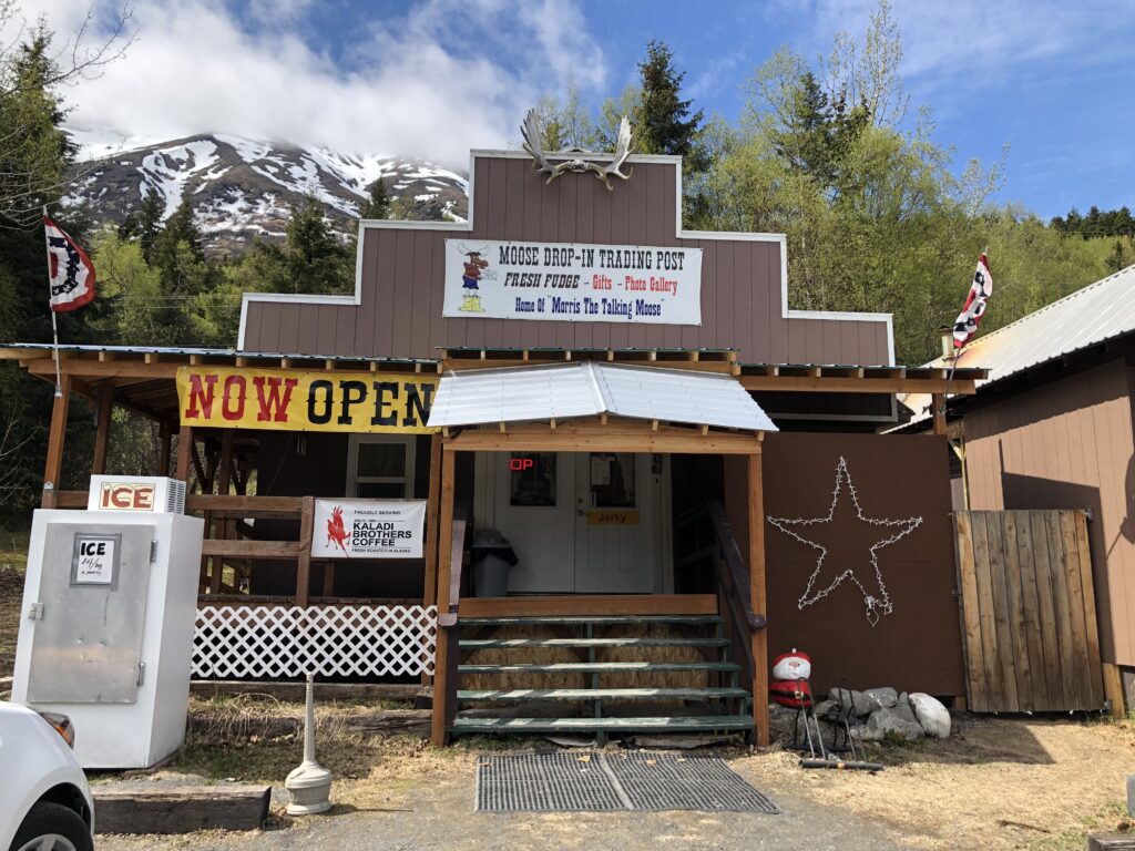
How could we resist the Moose Drop-In Trading Post featuring fudge and Morris the Talking Moose? Melanie would never forgive me.
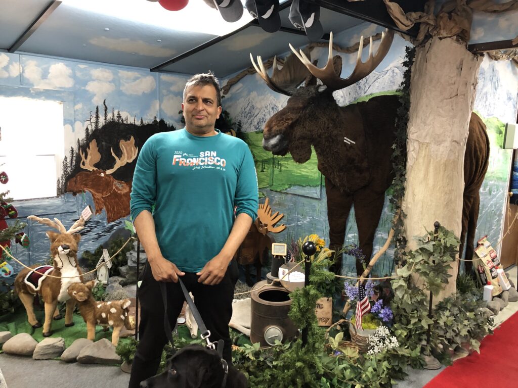
Meet Morris, the Talking Moose. I don’t remember a word he said :)
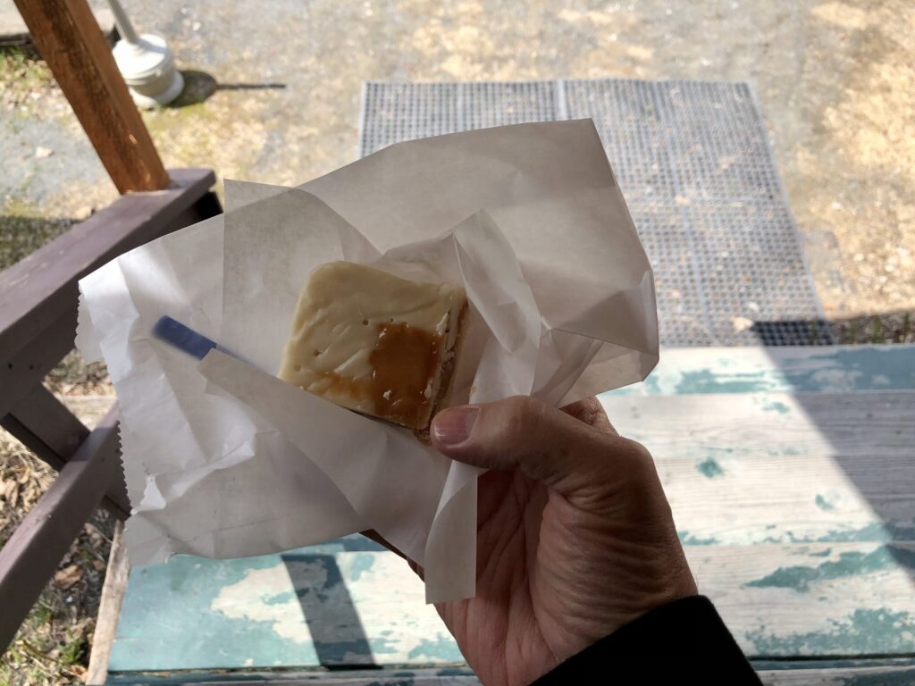
Moose Drool fudge: vanilla, caramel, sea salt. Gotta say, it was pretty incredible. I told Ash it was one of the sweetest things I’ve had in my mouth in a long time. (I won’t add what he said in response!…)
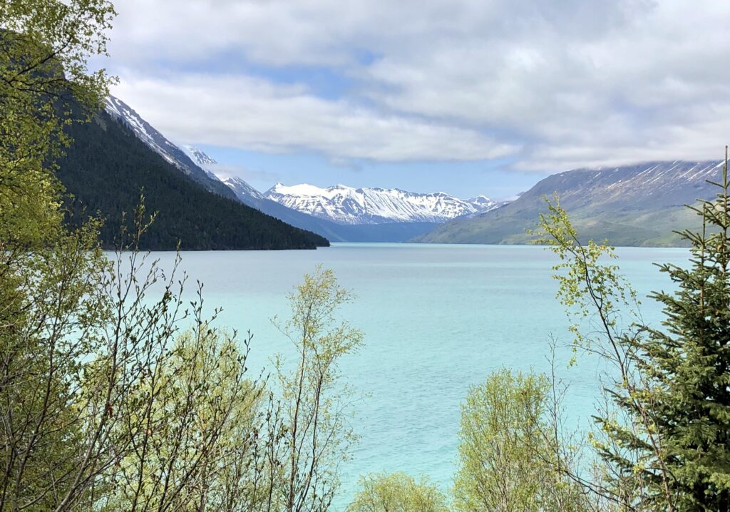
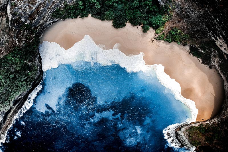
The best photo stop of the day. This is in Primrose at the bottom of Kenai Lake along the Seward Highway.
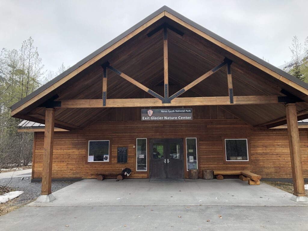
We took a right into Kenai Fjords National Park to see the Exit Glacier.
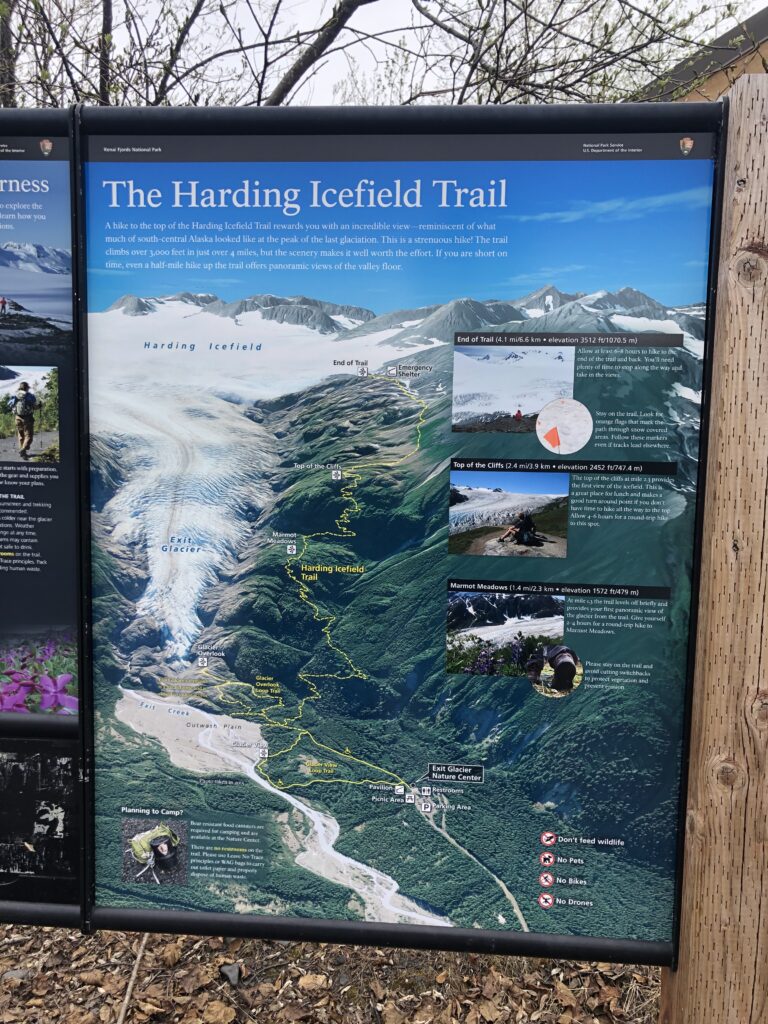
The black box bottom center-ish is where I’m standing at the time of the photo. We took the Glacier Overlook trail over to the far left which went to the bottom of the glacier. Then came back over and went up the Harding Icefield trail, planning to turn back at Marmot Meadows. After we did the Overlook, we went back and went up the other. We made it about halfway but it got pretty narrow and slippery. We ran into a couple who said they couldn’t get to the Meadows because of snow so they’d turned back. So we did, too.
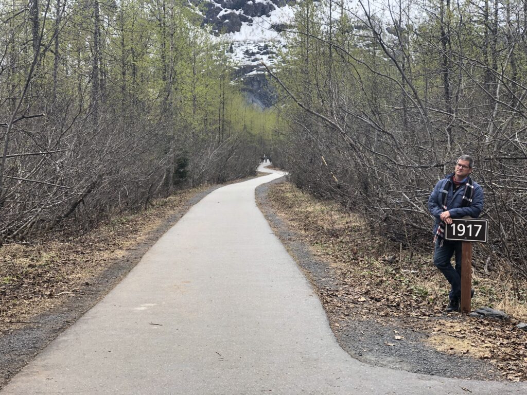
The first sign I noticed that showed where the glacier was in that year. When we left I noticed that there had been signs along the way, starting at 1815 – 2-3 miles down at least.
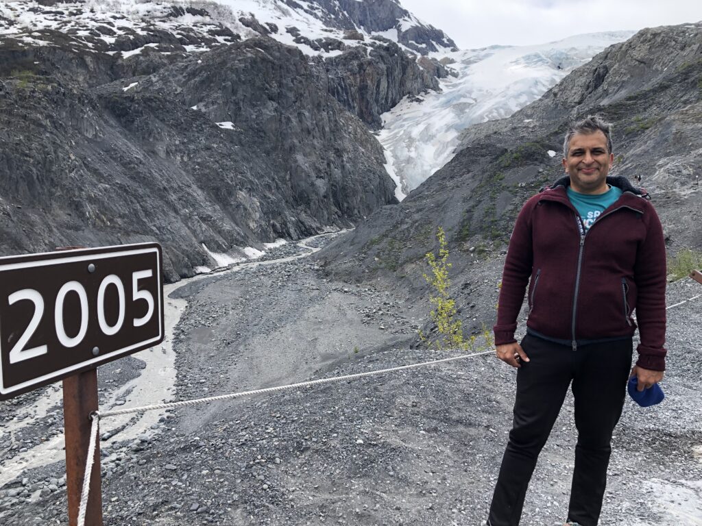
That’s the bottom of Exit Glacier in the background right of center. There’s a sign about 100 yards up that reads 2010.
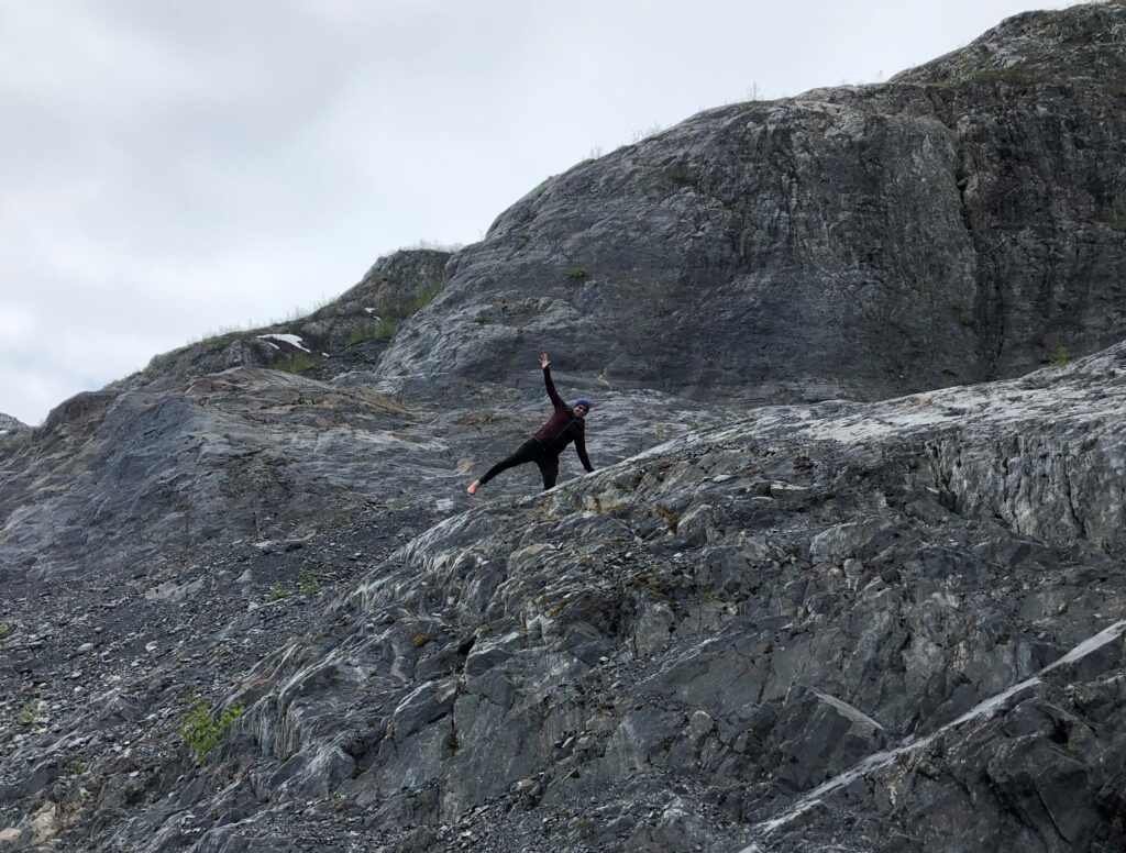
Ash being silly on the mountain. I believe this was in the area that was closed. We’d walked a little bit past the line into the closed area. He was wanting to go further but I was like “uh, I’m pretty sure it’s closed for a reason.”
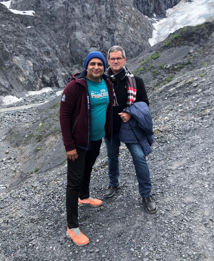
As we’d come back into the, uh, not closed area, 3 young guys were coming up. Ash asked if they’d take our photo. One of them took this one….
…and this one as we watched his friends leap like gazelles up the mountain which I’d just say “no way” to.

The point of this photo is really the rock. It was hard to capture, but it was actually pretty smooth and this type of rock was everywhere. Ash called it “shaved rock” which is a good description, because it reminded me of 6th grade science class learning about what glaciers do to the land as they’re coming down a mountain.
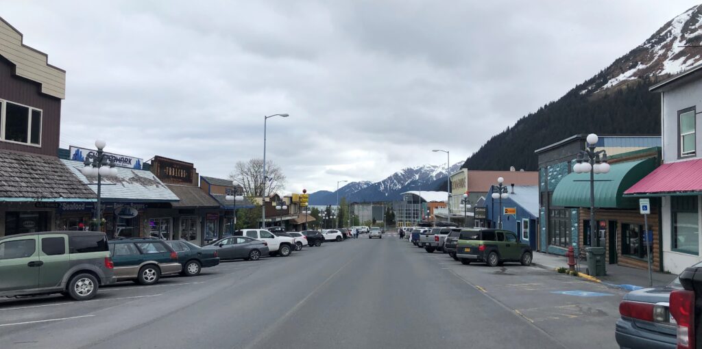
We finally made our way into Seward just after 4pm. Population about 2800, it’s known as a port town and where the big cruise ships make a stop. The Airbnb we are staying at is to my right.
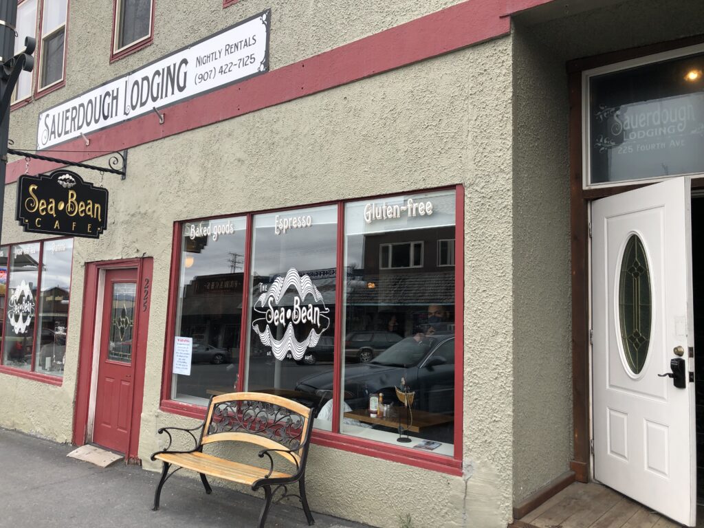
Sauerdough Lodging is above a coffee shop, all owned by the same couple. The door on the right….
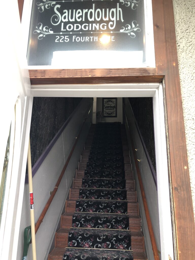
…leads you upstairs to the rooms.

And they’re pretty nice. A studio sort of living and bedroom, with a small kitchen but decent sized bathroom.
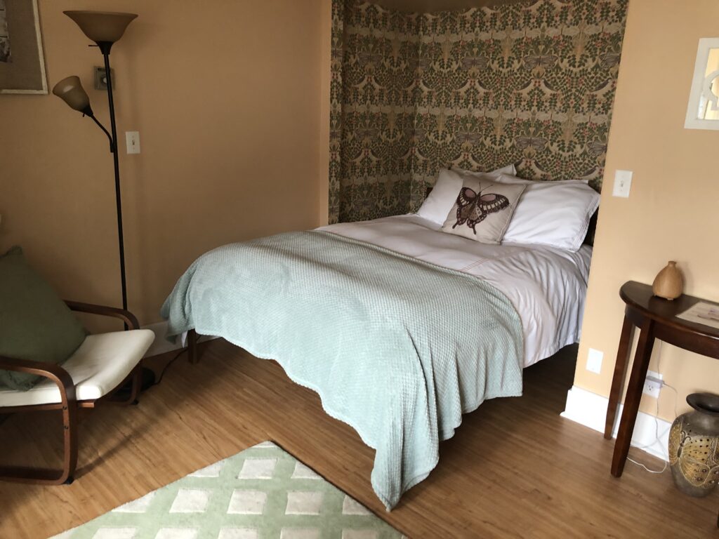
From the couch looking back at the bed.
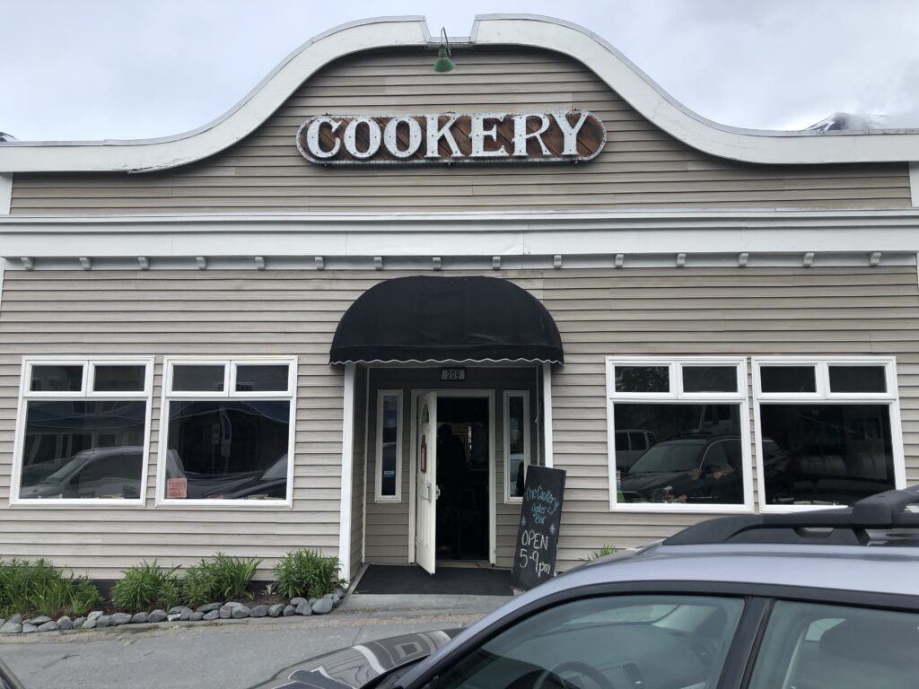
Cookery was highly rated on Trip Advisor but the earliest Ash could get a reservation for when he made it was 8pm. It’s 2 blocks from where we are staying and we happened upon it just after it had opened at 5pm as we were just taking a walk around the town. They let us right in. Score!
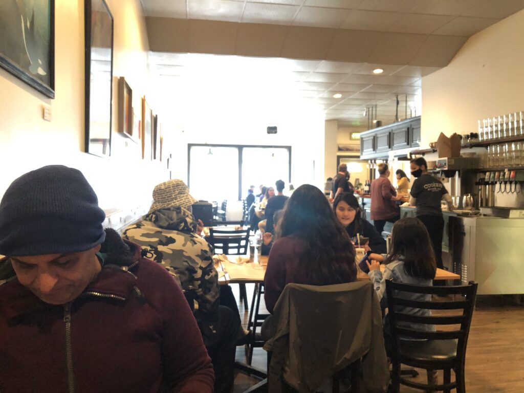
It was already crowded for having just opened. There was a nice couple from Florida sitting to my right which we visited with quite a bit throughout dinner.
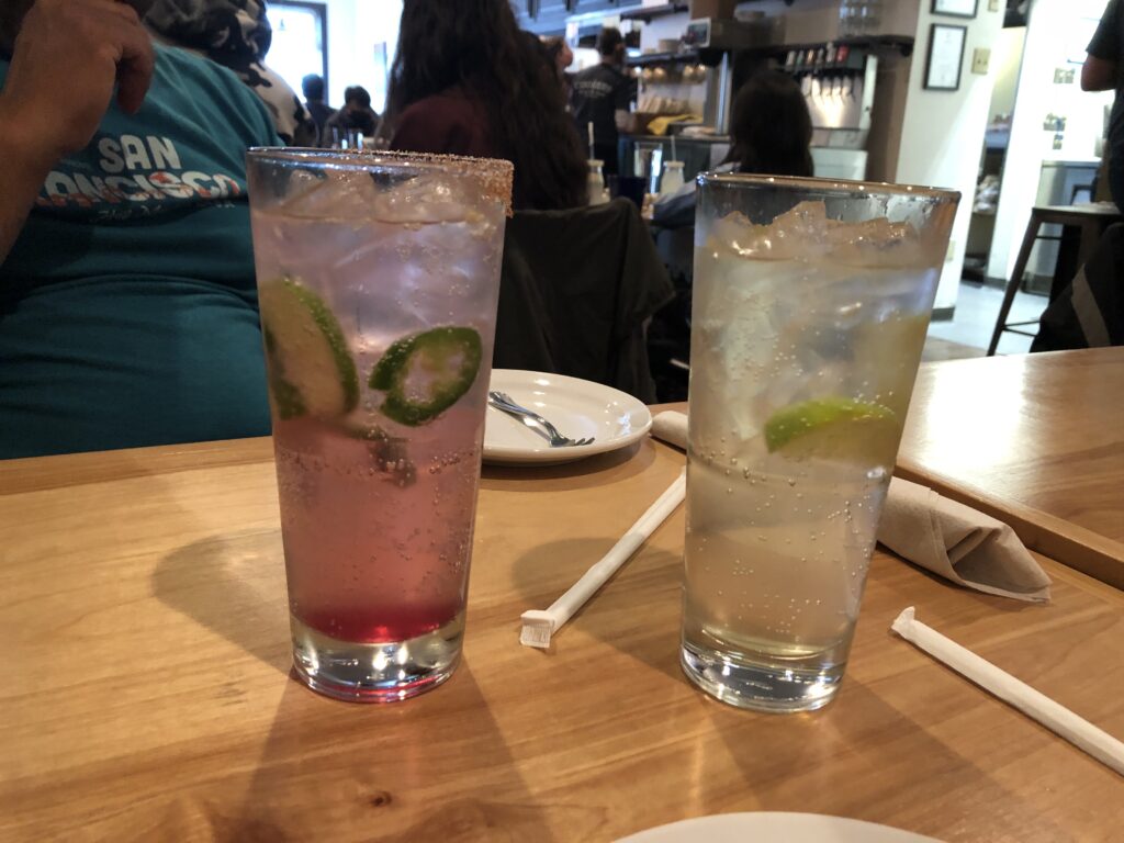
On the left was Ash’s drink – yes those are jalapenos – and I don’t remember what else was in it but it was amazing. And I was glad I didn’t get it! In comparison my ginger fizz was pretty boring.
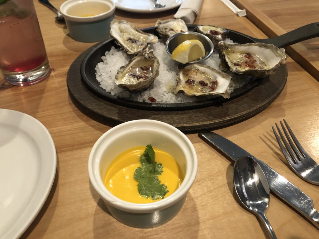
Cold carrot soup as a amuse bouche, and oysters on the half shell with juices and bacon. Went down pretty smooth.
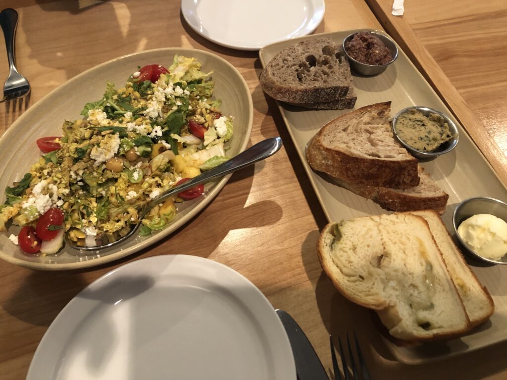
We shared a chopped salad and a plate called “breads and spreads”: 3 kinds of each. A jalapeno sourdough with sea salt butter; I can’t remember the 2nd bread but the spread was a zucchini baba ghanoush which was my favorite of the 3 (especially since it’s normally made with eggplant which I don’t like); and a rye with a tapenade.
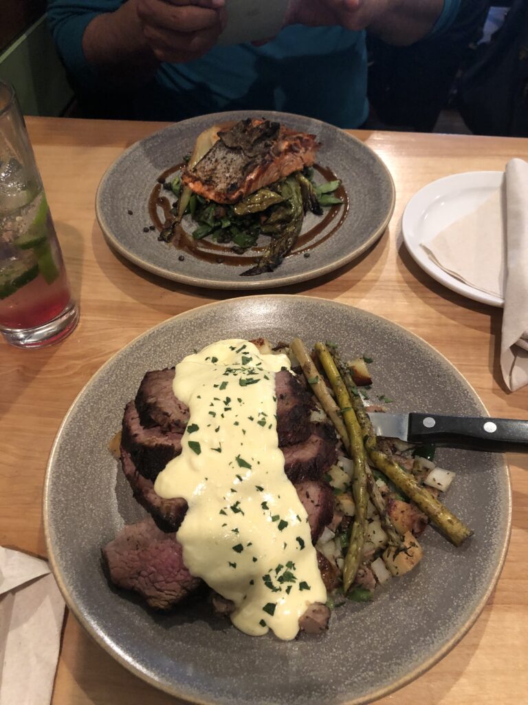
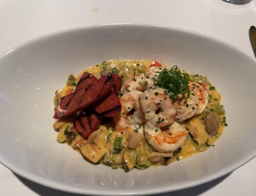
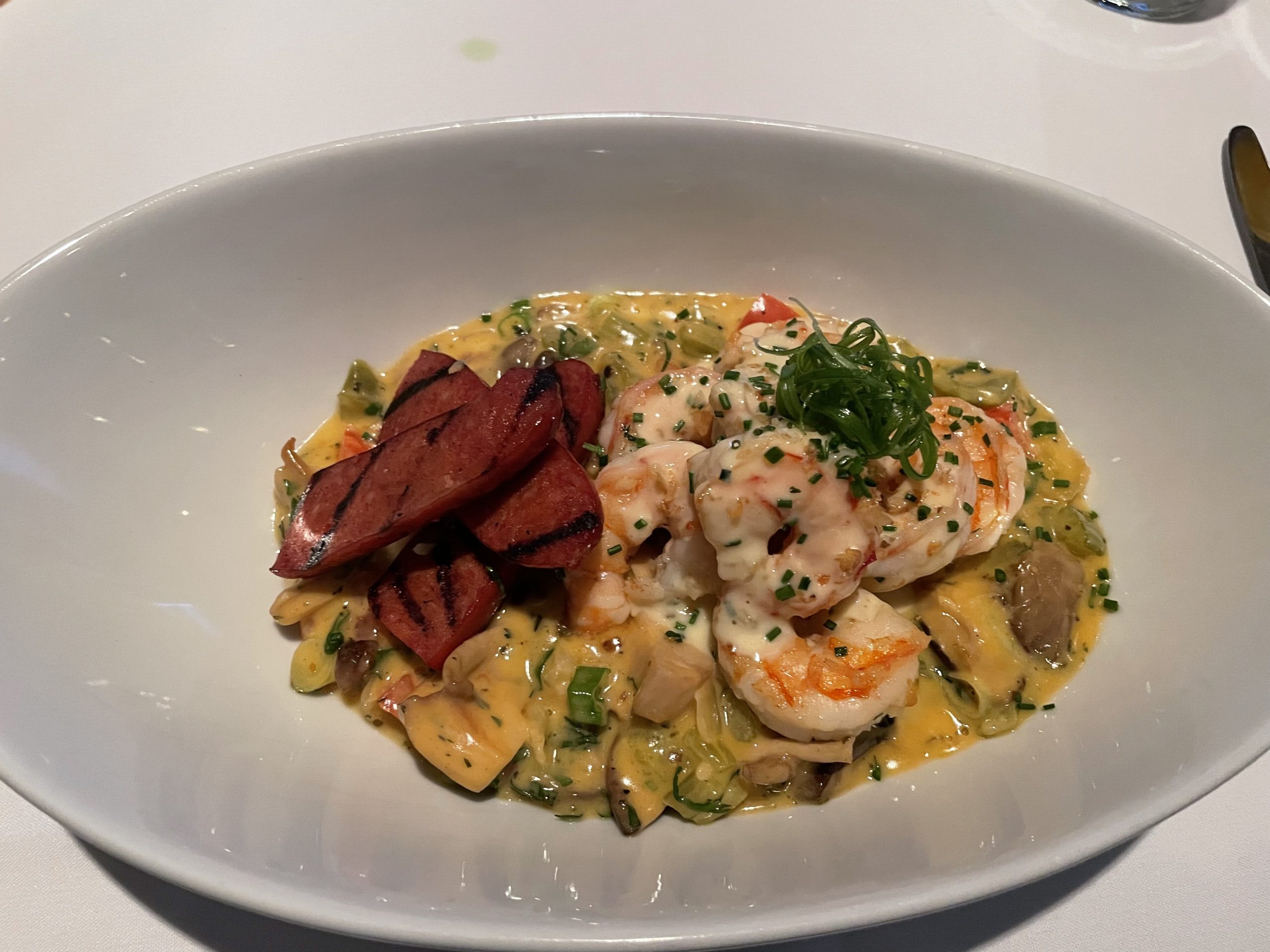
Ash had Copper River salmon on a bed of spinach and lentils. I had tri tip on bed of brisket hash, with a duck egg hollandaise. It was a heavy dish but very tasty.
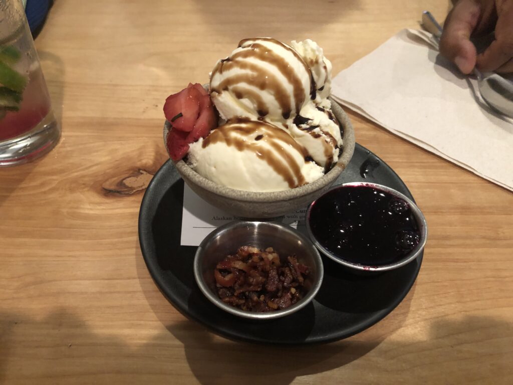
Dessert was cheesecake ice cream with a balsamic glaze, confit strawberries, bacon, and a blueberry ginger sauce I asked for because I saw it on another dessert! Incredible. (We were So Glad we shared this.)

We took a short walk after dinner but didn’t stay out long because it was cold and windy.
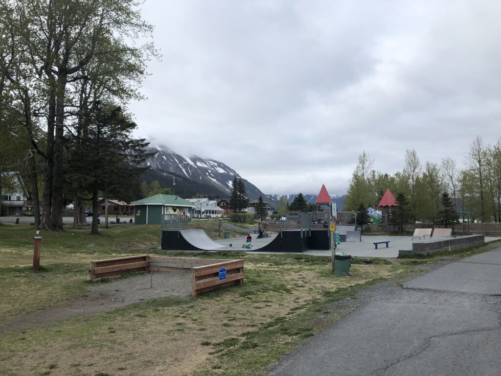
A skate park behind me to the left of where I’m standing in the photo of the water…

…and a pavilion open to the public behind me to the right.

The view west.
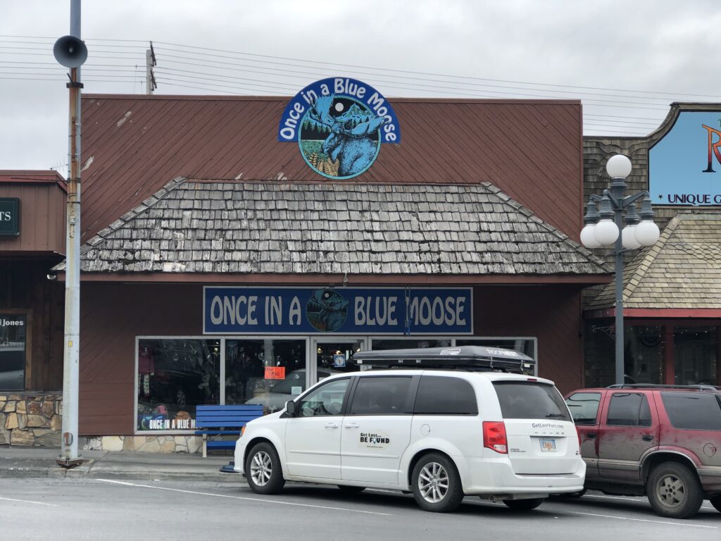
And because you have to end a day like this on a moose note, this is across the street from where we are staying.
On Friday we head back to Anchorage.
One Comment
Leave A Comment
Related Posts
Subscribe to the Blog
Enter your email address to subscribe to my blog, which will provide notifications of new posts. Soon after you enter your email address below, you will receive one to confirm your subscription. Check your spam/junk folder if you don’t see it.


What a nice surprise to see this blog. The blog really isn’t really a surprise but the trip was. I’ve never been to Alaska and this is a great way to experience it. I look forward to the rest.